Get the Space Coast’s top local news in your inbox.Top local news, free in your inbox.Free. Unsubscribe anytime.

×

Local news for Brevard County and the Space Coast

Live From Our Dish

Weather satellite images we receive ourselves, from the GOES-19 (GOES East) and GOES-18 (GOES West) weather satellites, received by our own dish with no website in between.

Last received: Sun, Nov 1, 1:37 PM ET

For official forecasts and warnings, see weather.gov

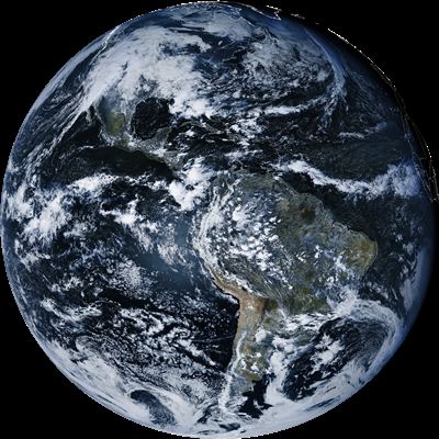
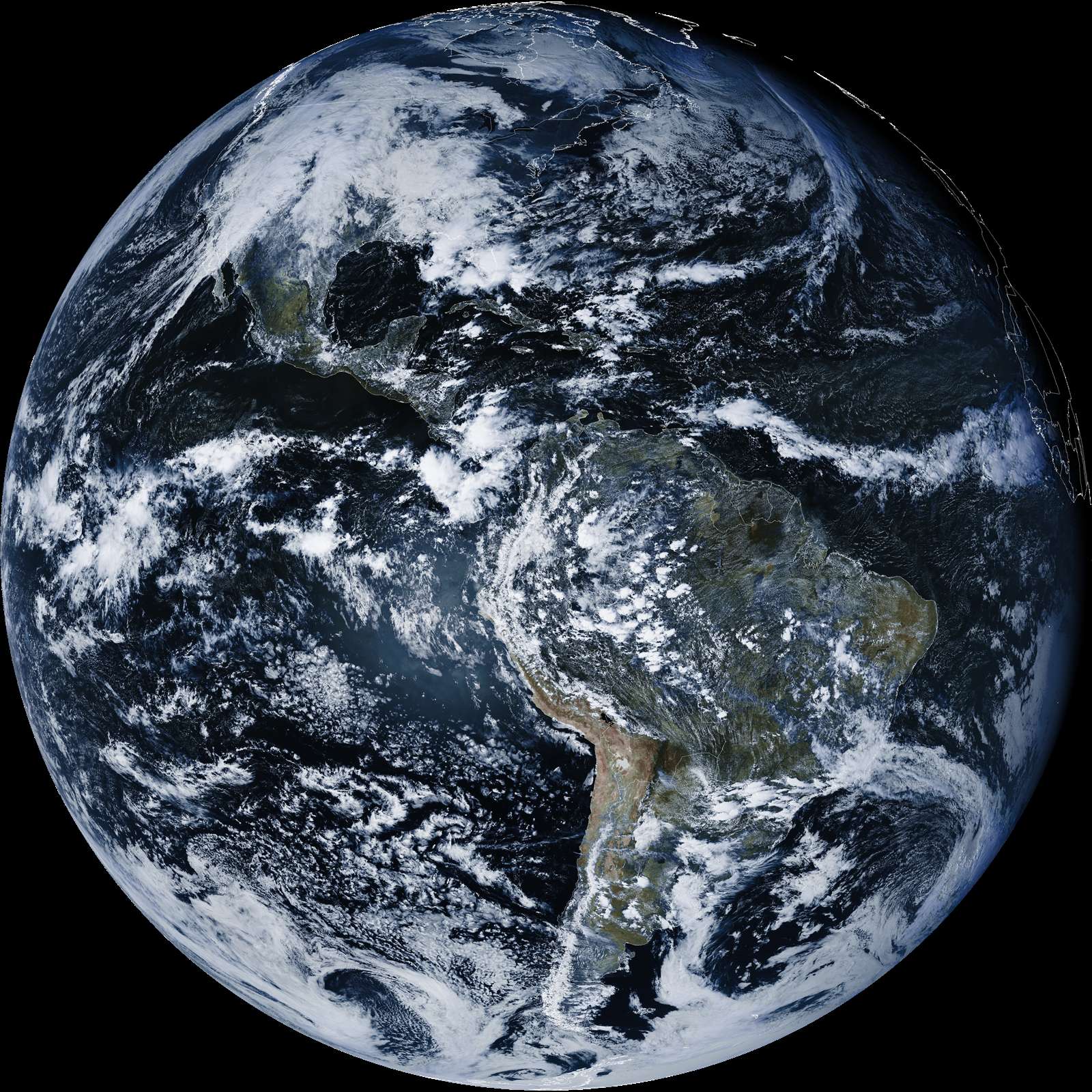
Full Disk the whole visible Earth
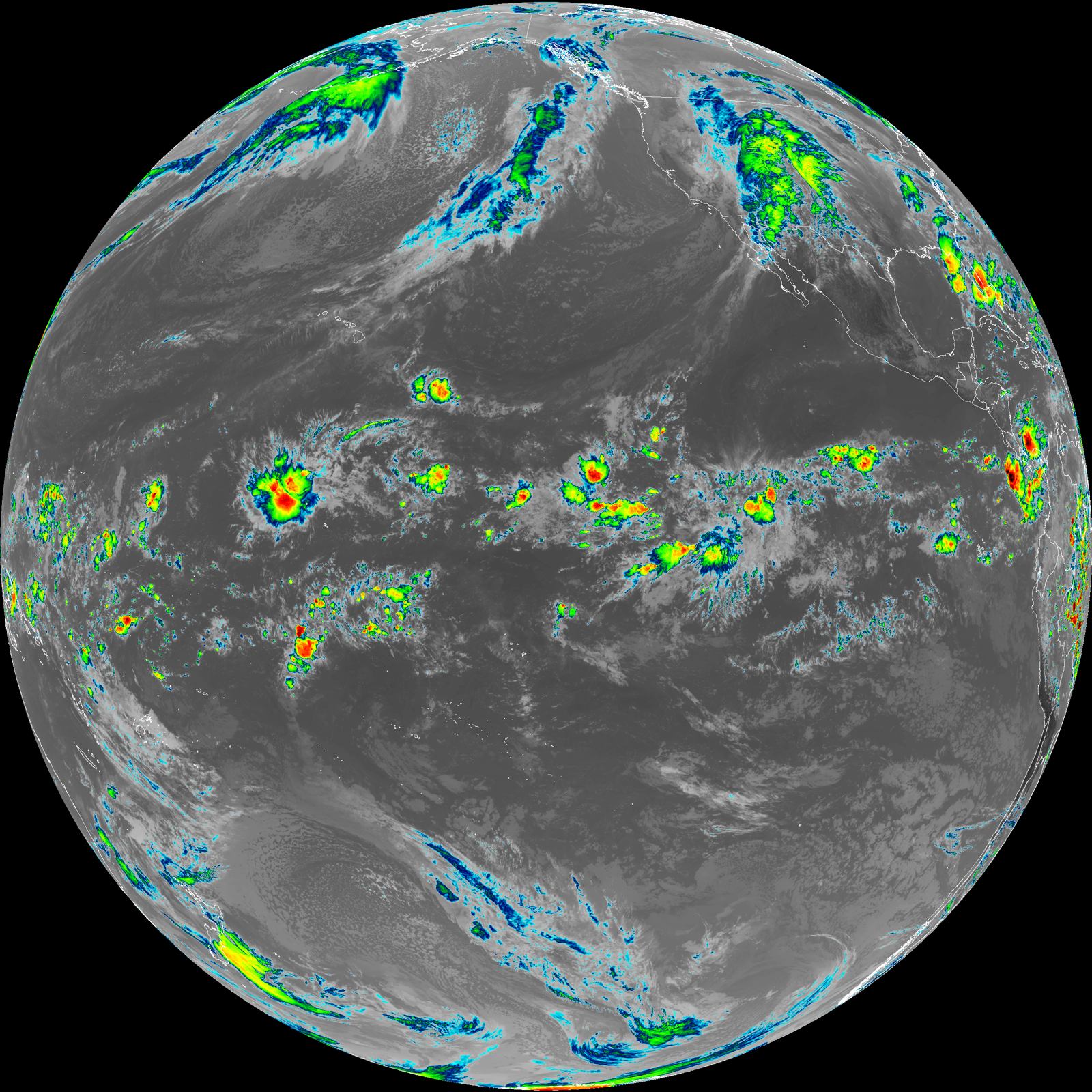
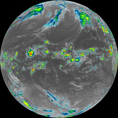
GOES-18 fulldisk Clean Longwave IR Window Band image, 2026-11-01 17:40 UTC
GOES-18Full DiskInfraredSun, Nov 1, 12:40 PM ETHeat from cloud tops and the surface, day or night; colder (higher) cloud tops show brighter.Image: NOAA GOES-18, received by SCW Affiliate Jean

Close-Ups mesoscale sectors, updated more often
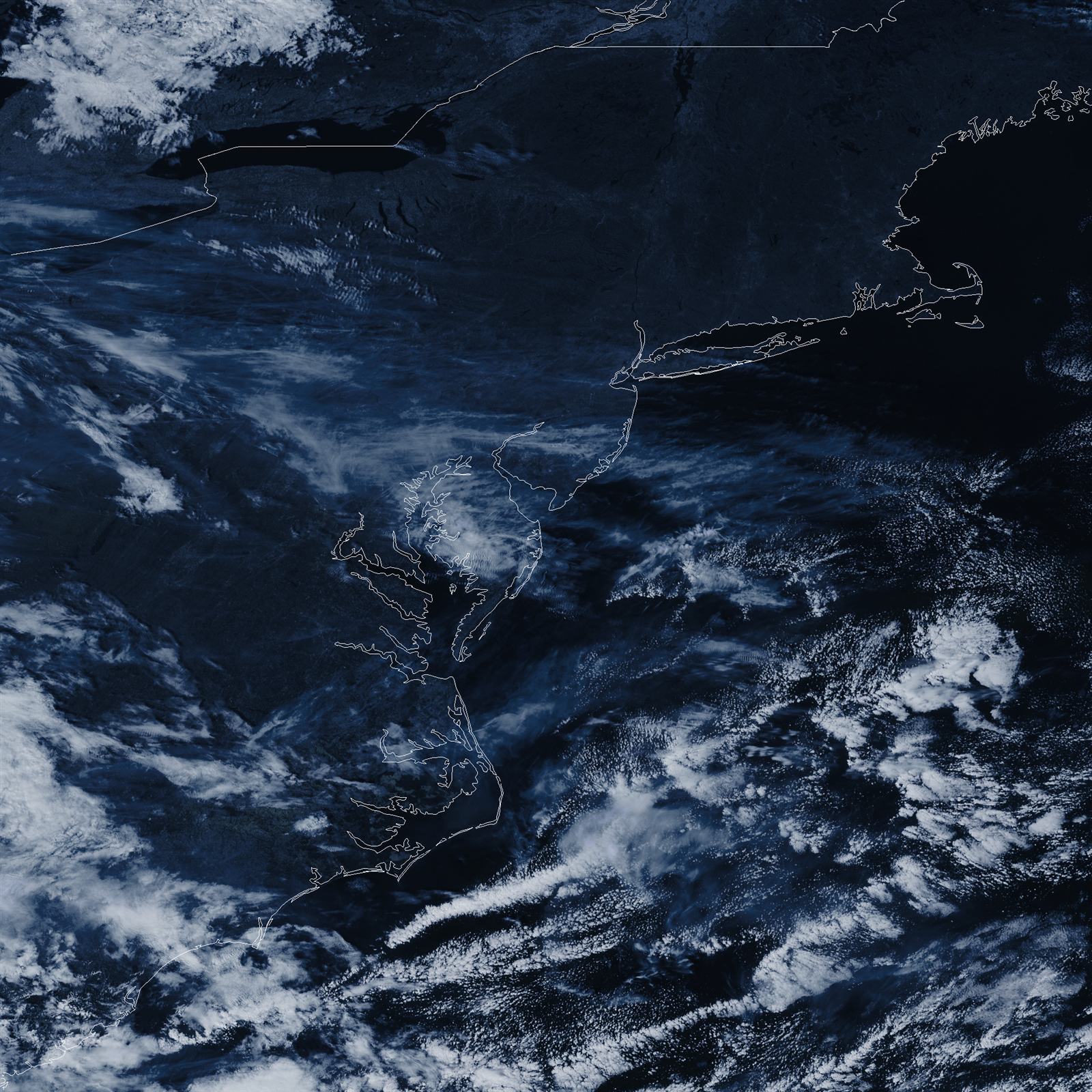
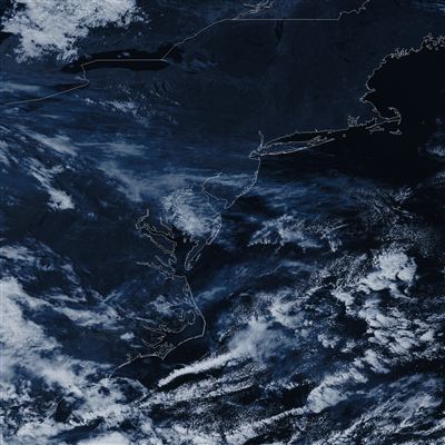
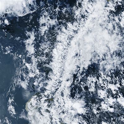
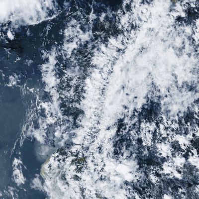
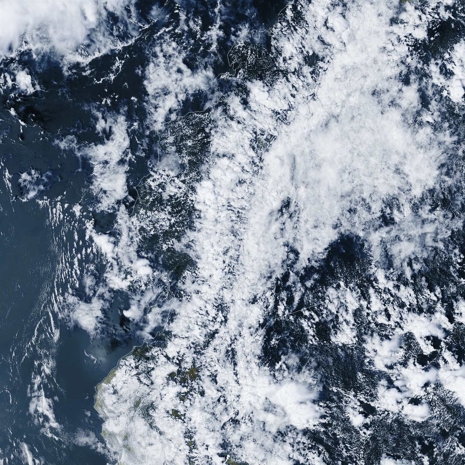
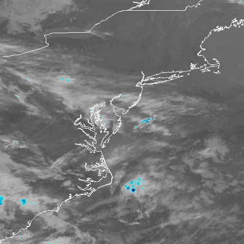
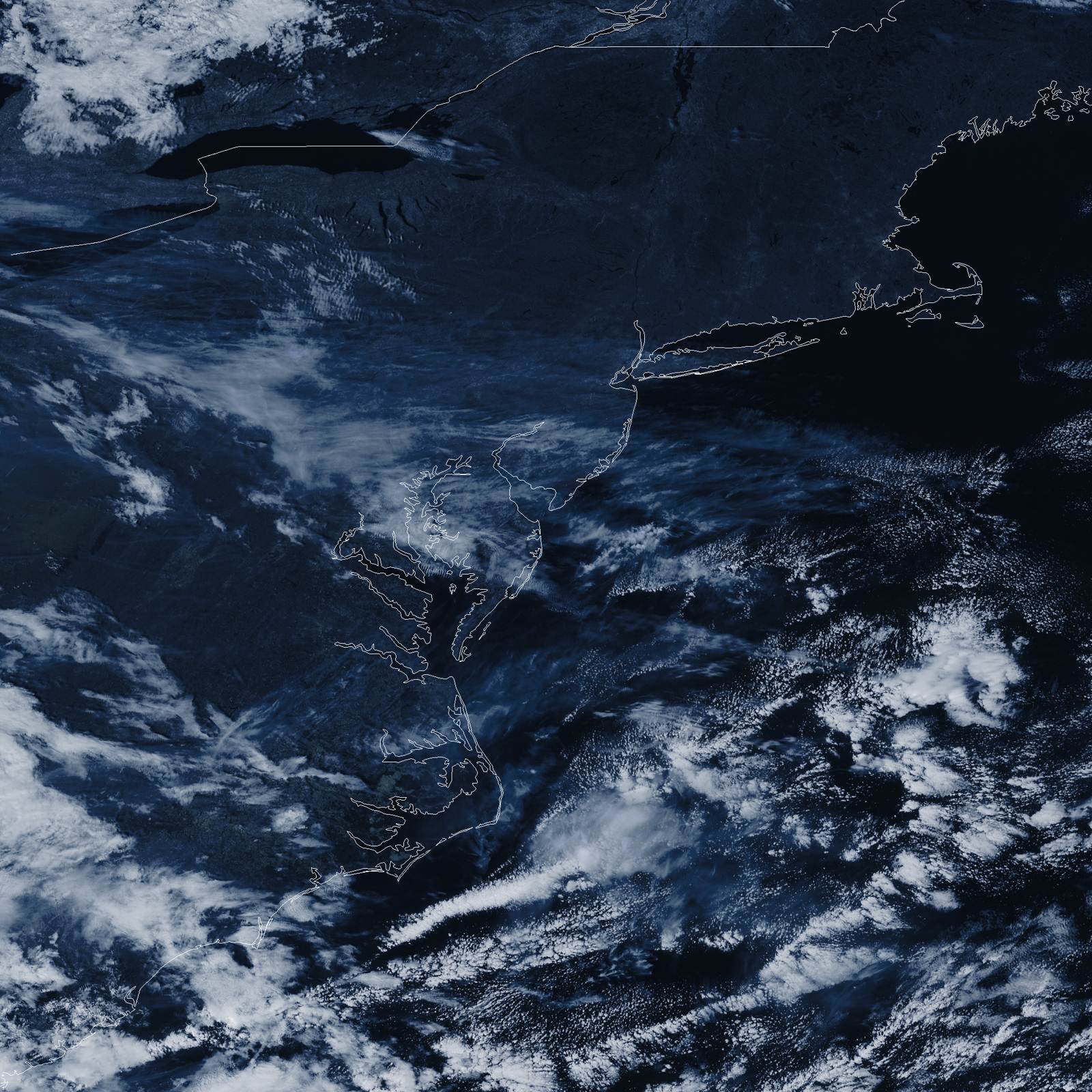
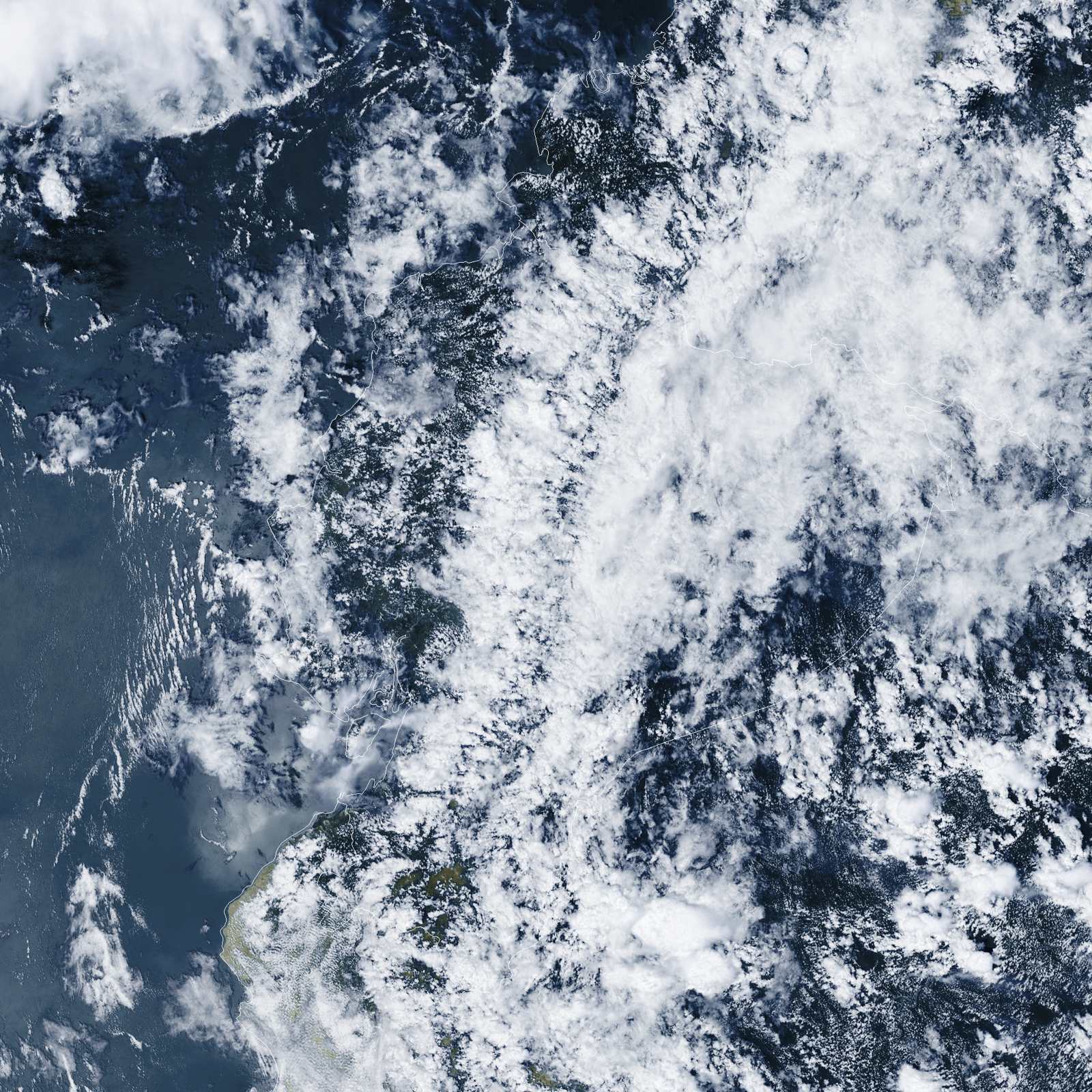
GOES-19 meso1 ABI False Color image, 2026-11-01 18:36 UTC
GOES-19Mesoscale 1False ColorSun, Nov 1, 1:36 PM ETDaytime blend that shows clouds, land and ocean close to how they look to the eye.Image: NOAA GOES-19, received by SCW Affiliate Jean
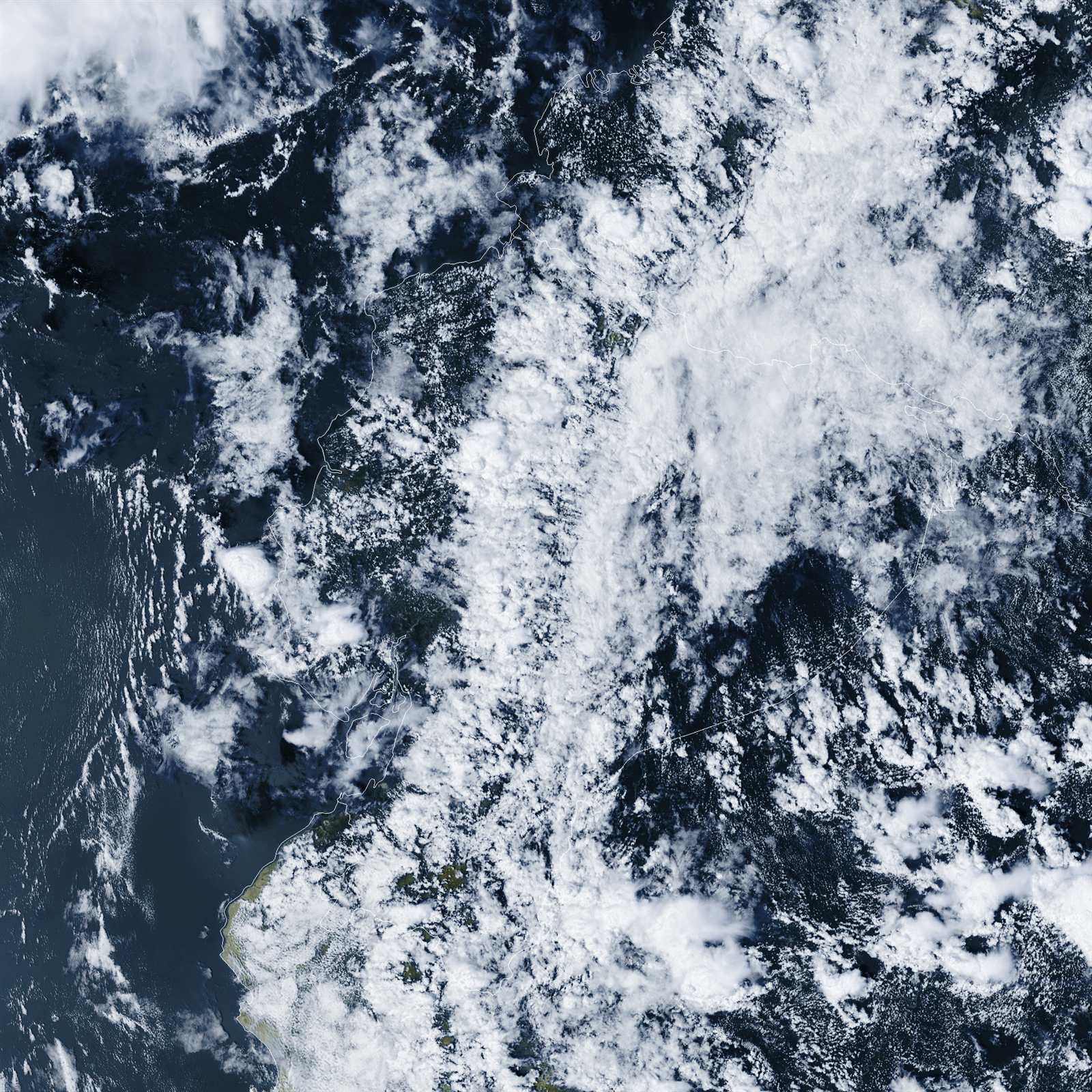
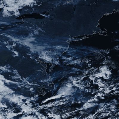
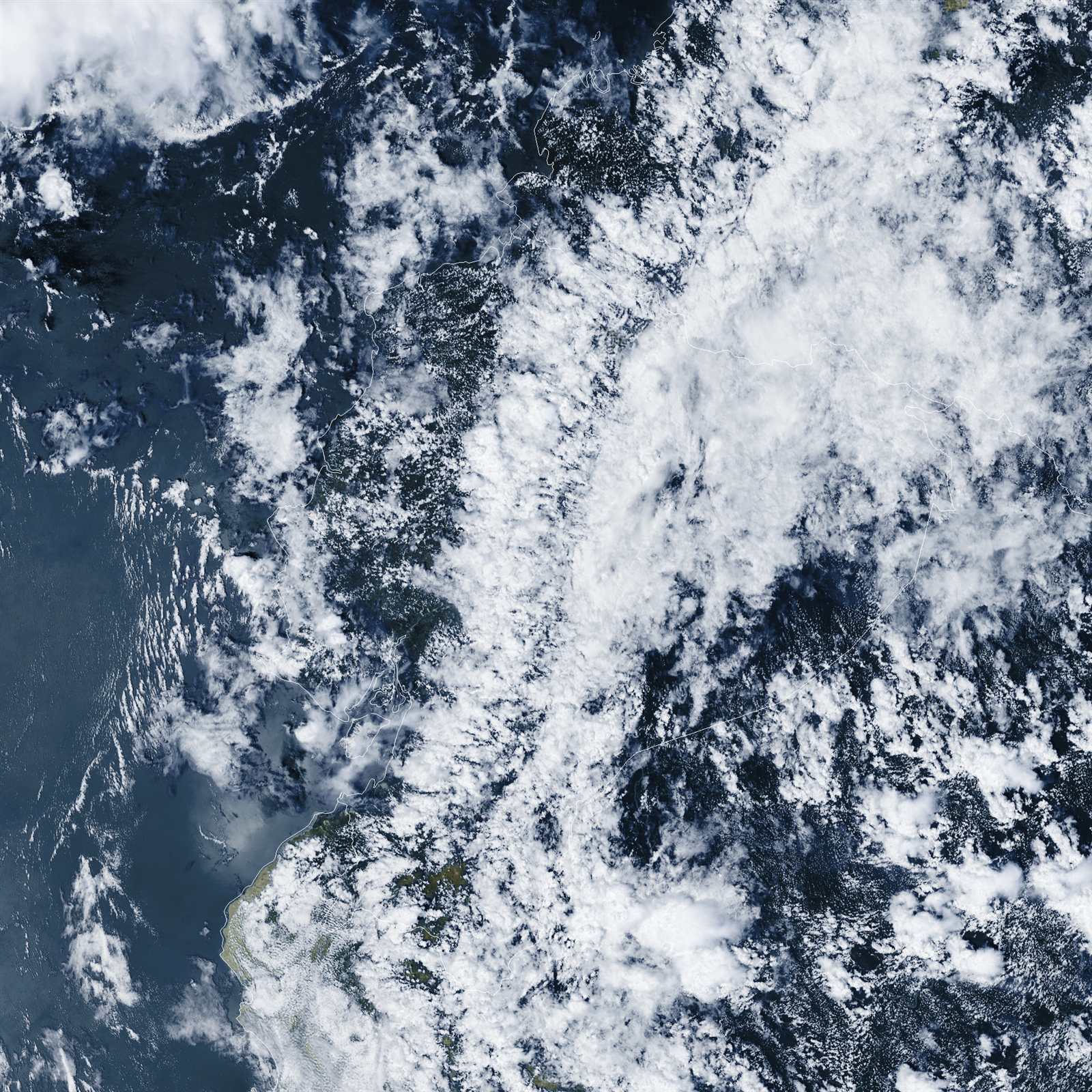
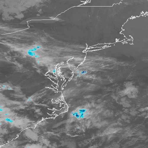
GOES-19 meso2 ABI False Color image, 2026-11-01 18:37 UTC
GOES-19Mesoscale 2False ColorSun, Nov 1, 1:37 PM ETDaytime blend that shows clouds, land and ocean close to how they look to the eye.Image: NOAA GOES-19, received by SCW Affiliate Jean

NOAA moves the two mesoscale sectors to wherever the weather is most interesting, so they won’t always show Florida.

Last 24 Hours 11 images
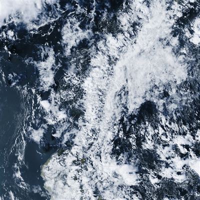
  1. GOES-19 meso2 ABI False Color image, 2026-11-01 18:37 UTC1:37 PMG19 Meso 2 Β· False Color
  2. GOES-19 meso1 ABI False Color image, 2026-11-01 18:36 UTC1:36 PMG19 Meso 1 Β· False Color
  3. GOES-19 meso2 ABI False Color image, 2026-11-01 18:22 UTC1:22 PMG19 Meso 2 Β· False Color
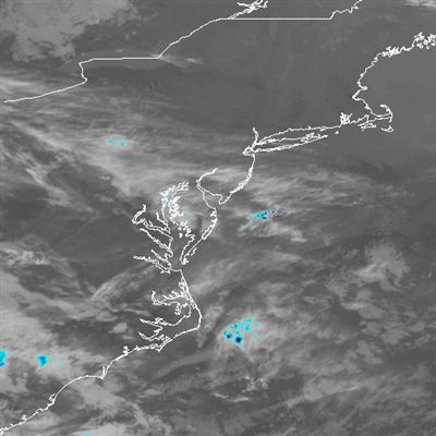
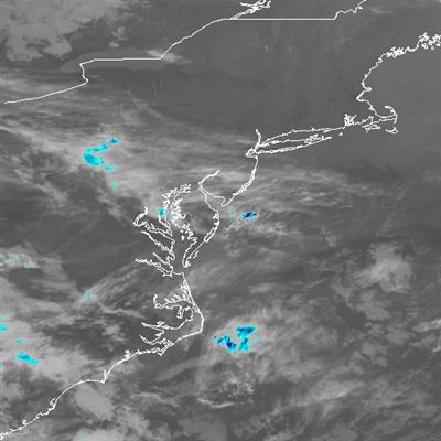
  4. GOES-19 meso1 Clean Longwave IR Window Band image, 2026-11-01 18:21 UTC1:21 PMG19 Meso 1 Β· Infrared
  5. GOES-19 meso2 ABI False Color image, 2026-11-01 18:07 UTC1:07 PMG19 Meso 2 Β· False Color
  6. GOES-19 meso1 ABI False Color image, 2026-11-01 18:07 UTC1:07 PMG19 Meso 1 Β· False Color
  7. GOES-19 fulldisk ABI False Color image, 2026-11-01 18:00 UTC1:00 PMG19 Full Disk Β· False Color
  8. GOES-19 meso2 ABI False Color image, 2026-11-01 17:52 UTC12:52 PMG19 Meso 2 Β· False Color
  9. GOES-19 meso1 Clean Longwave IR Window Band image, 2026-11-01 17:50 UTC12:50 PMG19 Meso 1 Β· Infrared
  10. GOES-18 fulldisk Clean Longwave IR Window Band image, 2026-11-01 17:40 UTC12:40 PMG18 Full Disk Β· Infrared
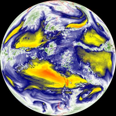
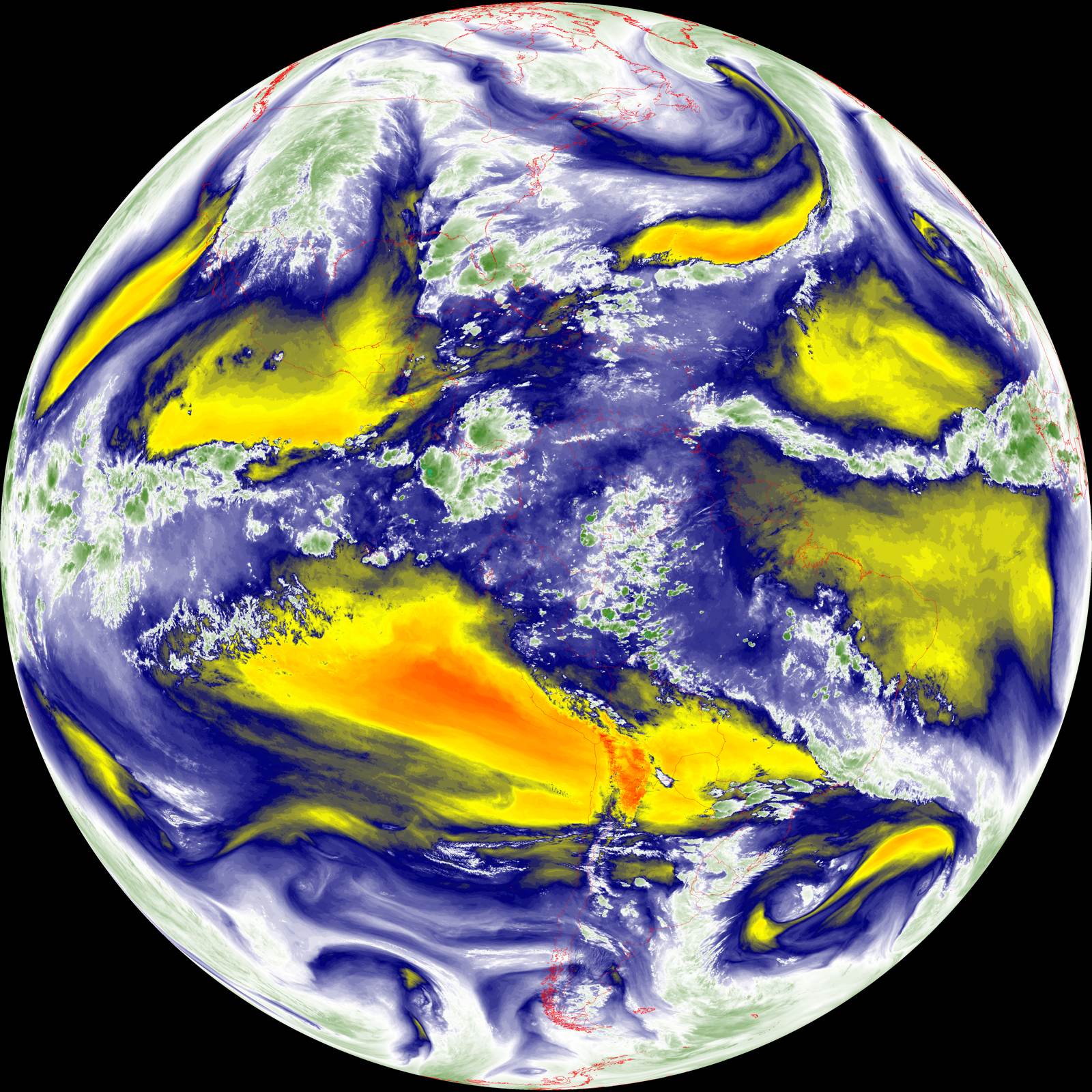
  11. GOES-19 fulldisk Mid-level Tropospheric Water Vapor image, 2026-11-01 17:30 UTC12:30 PMG19 Full Disk Β· Water Vapor

Tap any image for the full-size version. Times are Eastern.

About These Images

GOES-19 and GOES-18 are NOAA weather satellites about 22,000 miles above the equator. They broadcast their images to anyone with the right equipment, and our own dish picks them up and decodes them. Full disk images arrive about every 10 to 15 minutes; mesoscale close-ups arrive more often.

Gaps happen: when our receiver misses a pass, we simply show the last image we got and when it arrived. We never fill in or borrow images from elsewhere. Image data: NOAA GOES-R series. Images: NOAA GOES-19 and GOES-18, received by SCW Affiliate Jean.