Flood Watch covers all of Brevard from Sunday morning through Monday afternoon
NWS Melbourne expects bands of heavy rain with 1 to 3 inches widespread and localized totals of 5 inches or more on already soggy ground.
Written with AI assistance, with sources linked below.

Local Weather
Measured on Brevard's beachside by our own weather station
- Wind
- 6 mph SSW, gusts 11 mph
- Rain today
- 0.00 in
- Humidity
- 78%
- Pressure
- 30.17 inHg ↑ rising
Updated 7:38 AM ET
Our station's outlook (based on local readings, not an official forecast)
Settling: rising pressure usually means fair or improving weather.
Based on readings to 7:38 AM ET. Rules: 3- and 12-hour pressure change, wind shift and humidity/dew point trend. For official forecasts and warnings see the National Weather Service in Melbourne.
Sun
Sunrise 6:34 AM · Sunset 5:39 PM
Moon
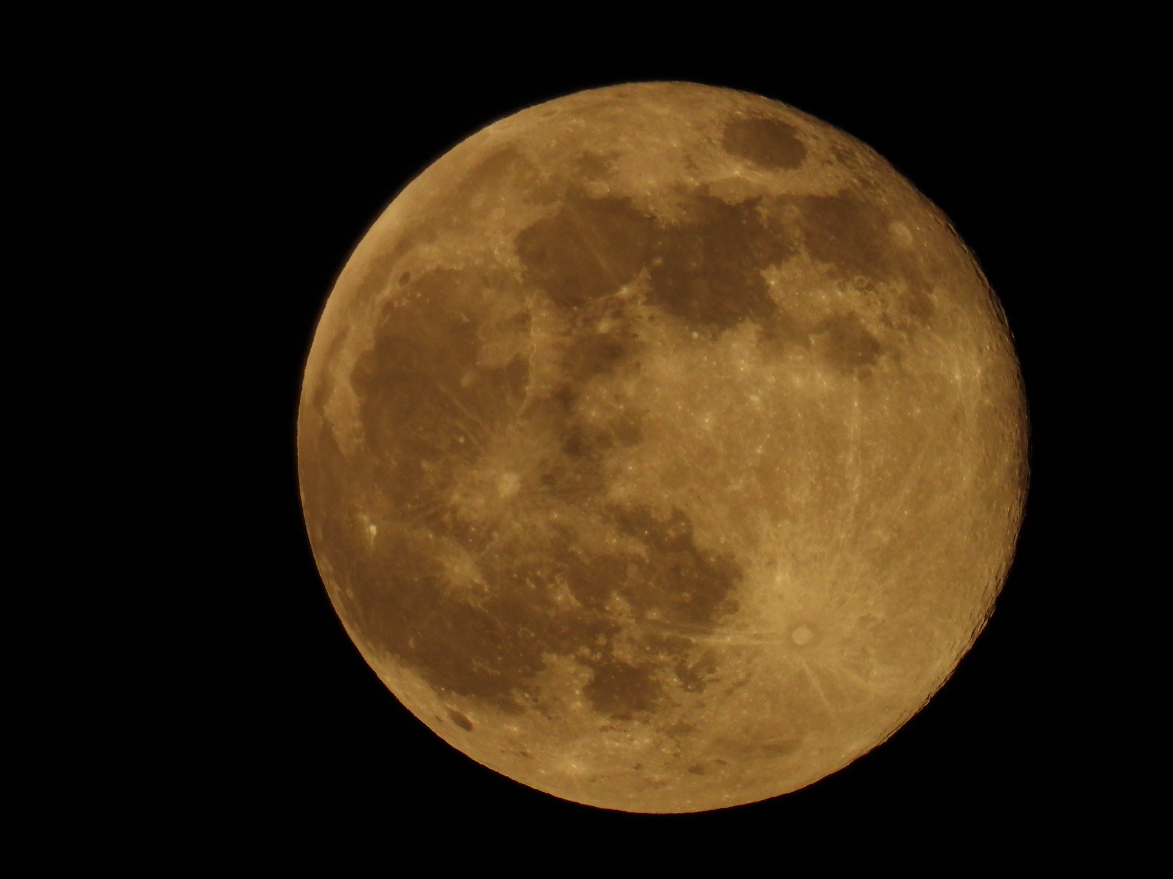
Last Quarter, 55% lit
Sun and moon times are calculated on our server for Brevard's beachside. Daily weather log, records and forecast →
Confirmed by: National Weather Service Melbourne
The National Weather Service in Melbourne has put all of Brevard County under a Flood Watch from 10 a.m. Sunday until 3 p.m. Monday, according to the watch issued at 12:41 a.m. Sunday. The watch also covers Indian River, St. Lucie and Martin counties. A Flood Watch means flooding from heavy rain is possible; it does not mean flooding is already happening.
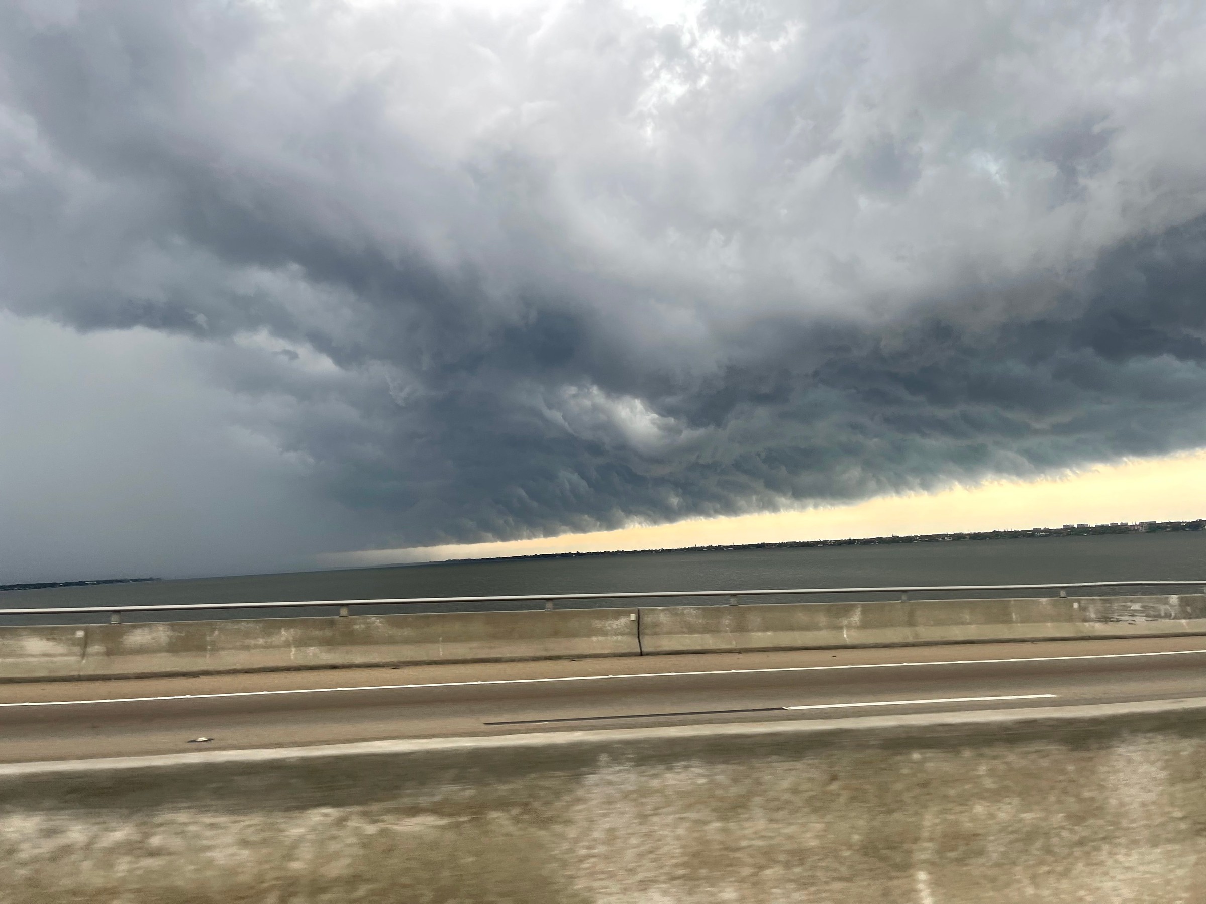
Forecasters say a disturbance approaching from the Gulf will combine with unusually rich moisture over Central Florida to bring bands of heavy rain through Monday afternoon. The weather service expects widespread totals of 1 to 3 inches, with localized amounts of 5 inches or more that could cause flash flooding. The ground is already nearly saturated, especially along the Treasure Coast, according to the watch.
Poorly drained and urban areas could flood, and some roads may flood, the weather service says. It also warns that heavy rain could make minor tidal flooding along the coast worse. In a post Sunday morning, NWS Melbourne said the risk of excessive rainfall lasts through Tuesday, with possible flooding of roadways and low-lying areas.
The rain arrives while a High Surf Advisory and a high rip current risk are still in effect for Brevard's beaches, after a week of king tides and coastal flooding along the county's shoreline. See our latest surf and rip current story.
Conditions change. Check NWS Melbourne for the latest alerts, and see the weather service's flood safety tips.
Sources
- NWS Melbourne Flood Watch (API), Nov. 1, 2026, 12:41 a.m. api.weather.gov/alerts/urn:oid:2.49.0.1.840.0.108559cb19ecfde4fa3e804589e3e1cdbacac774.001.1
- NWS Melbourne on X: Flood Watch issued x.com/NWSMelbourne/status/2116753682931102031
- NWS Melbourne on X: excessive rainfall risk through Tuesday x.com/NWSMelbourne/status/2116827809238900741
- NWS flood safety www.weather.gov/safety/flood
- NWS Melbourne www.weather.gov/mlb/
Spot something wrong? Request a correction · Our standards
Comments
Keep it friendly. Rude, hostile or personal-attack comments will be removed.