Shelf clouds, rain shafts and lightning: how to read a Brevard storm before it reaches you
National Weather Service guidance on what that wedge of cloud over the river means, why the beach is no place to wait out a storm, and when it's safe to go back out.
Written with AI assistance, with sources linked below.
Local Weather
Measured on Brevard's beachside by our own weather station
- Wind
- 5 mph SSE, gusts 19 mph
- Rain today
- 0.22 in
- Humidity
- 76%
- Pressure
- 30.09 inHg → steady
Updated 11:36 PM ET
Our station's outlook (based on local readings, not an official forecast)
Little change: pressure is steady, so conditions should stay much like they are now.
Based on readings to 11:36 PM ET. Rules: 3- and 12-hour pressure change, wind shift and humidity/dew point trend. For official forecasts and warnings see the National Weather Service in Melbourne.
Sun
Sunrise 7:30 AM · Sunset 6:45 PM
Moon
Full Moon, 100% lit
Sun and moon times are calculated on our server for Brevard's beachside. Daily weather log, records and forecast →
Anyone who has spent a summer afternoon on a Brevard beach or crossing one of the causeways has watched a storm roll in over the water. Here's what the National Weather Service says you're looking at, and what to do about it.
The shelf cloud: wind first, rain second
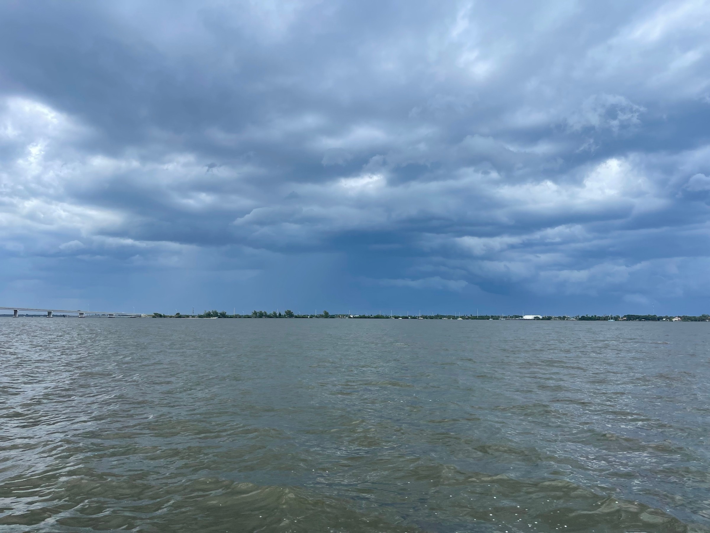
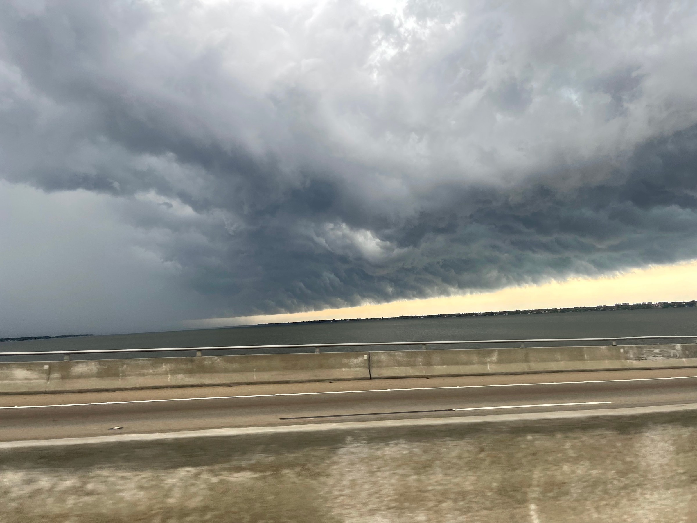
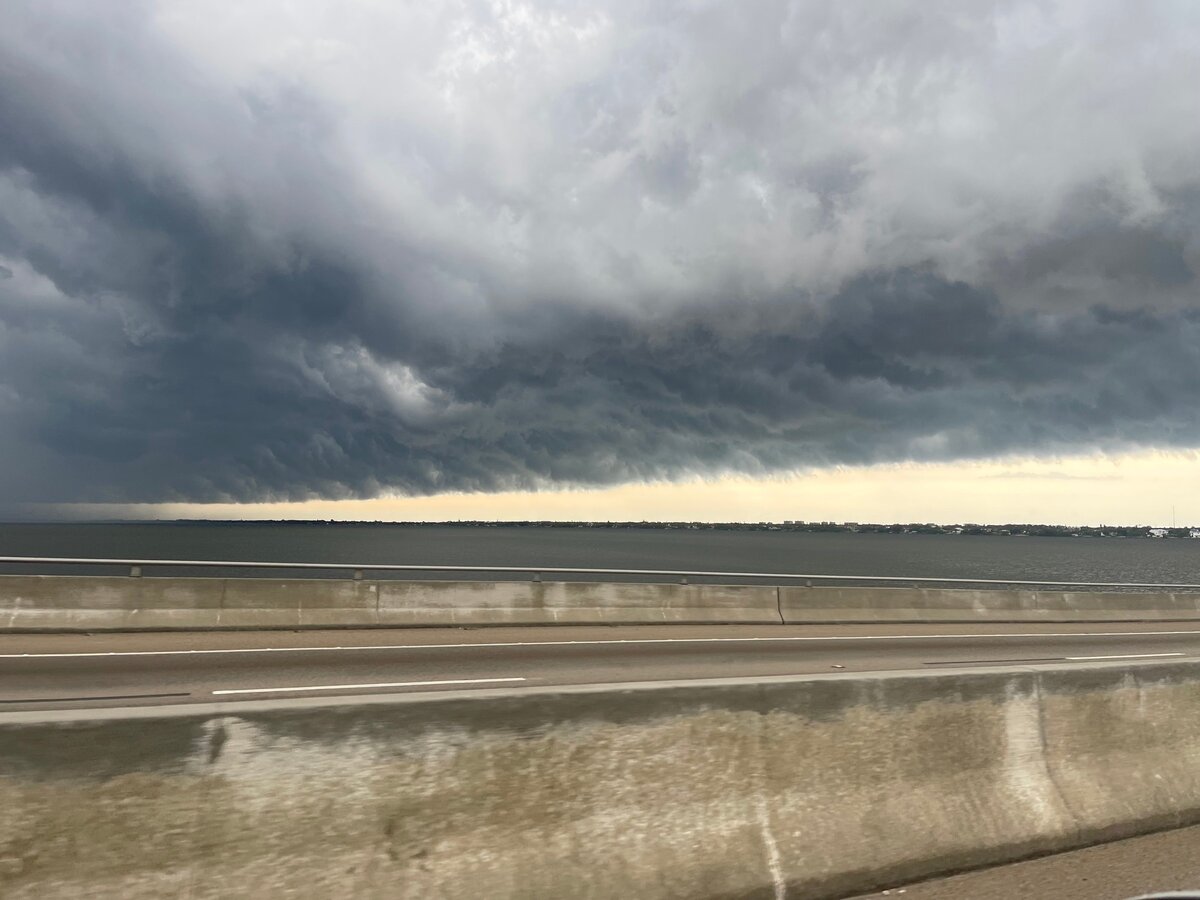
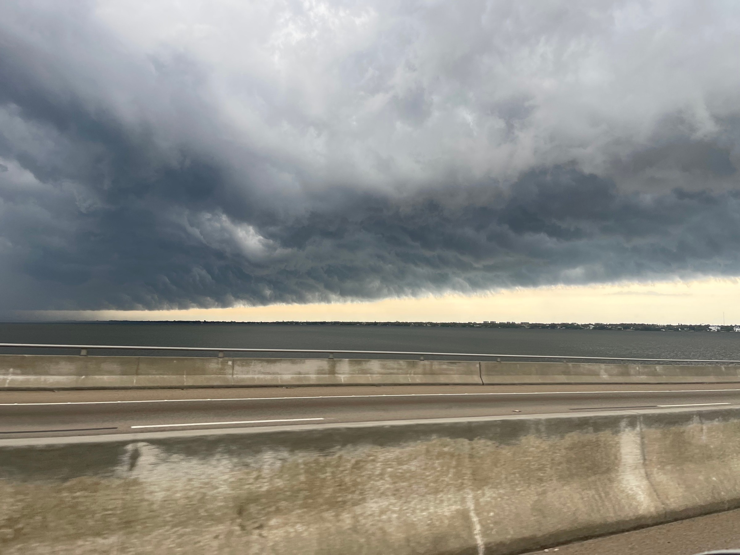
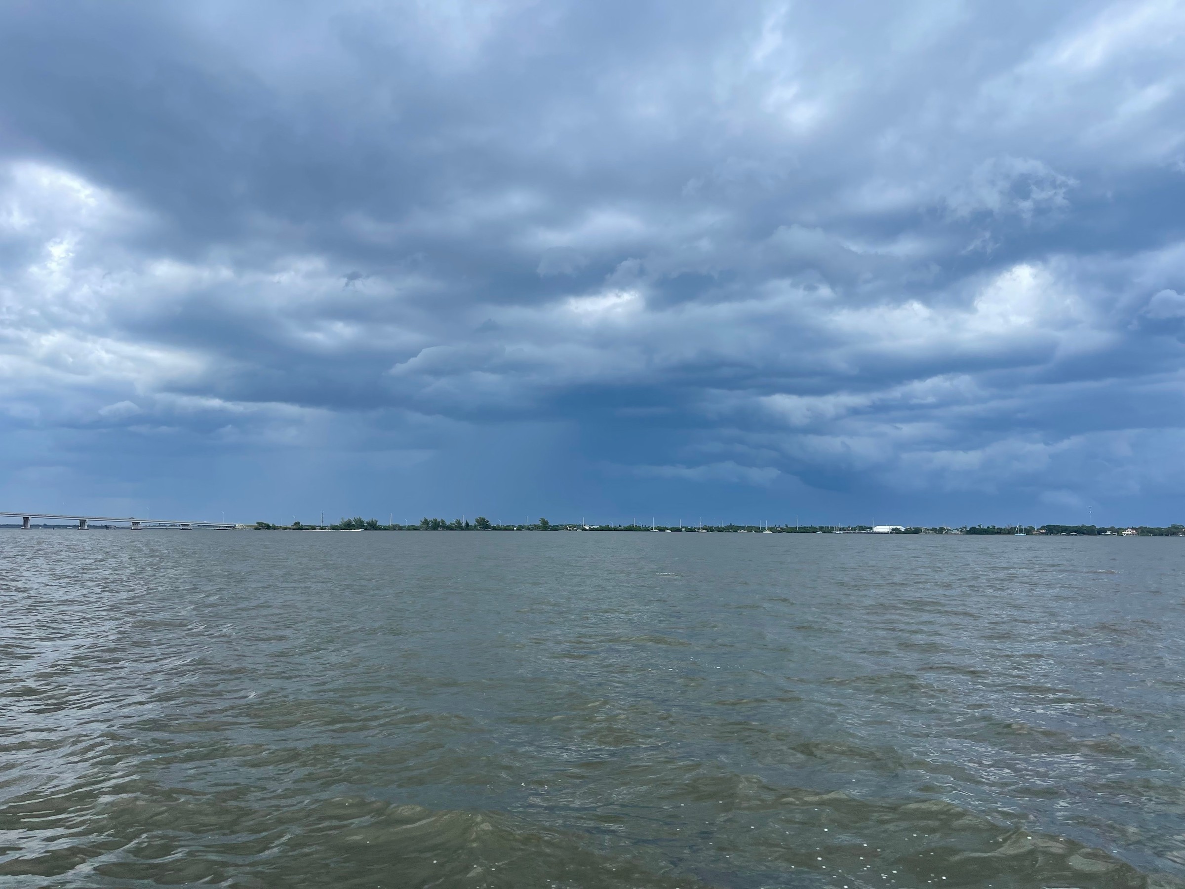
A shelf cloud is the low, wedge-shaped bank of cloud that sometimes runs along the front edge of a line of thunderstorms. The NWS glossary says it forms along a storm's gust front and is attached to the base of the storm cloud above it. Its leading edge often shows rising motion, while its underside can look turbulent, churning and ragged.
According to NWS Louisville's spotter guide, the wind usually arrives before the rain when a shelf cloud comes through. The biggest threat is damaging wind along the line, though brief, rain-wrapped tornadoes can happen. Shelf clouds sometimes look like they're rolling on a horizontal axis, and people often report them as wall clouds or funnels. A wall cloud is a different thing. It's smaller and more compact, usually hangs beneath a rain-free part of the storm, and rotates around a vertical axis.
Rain shafts, rain feet and downbursts
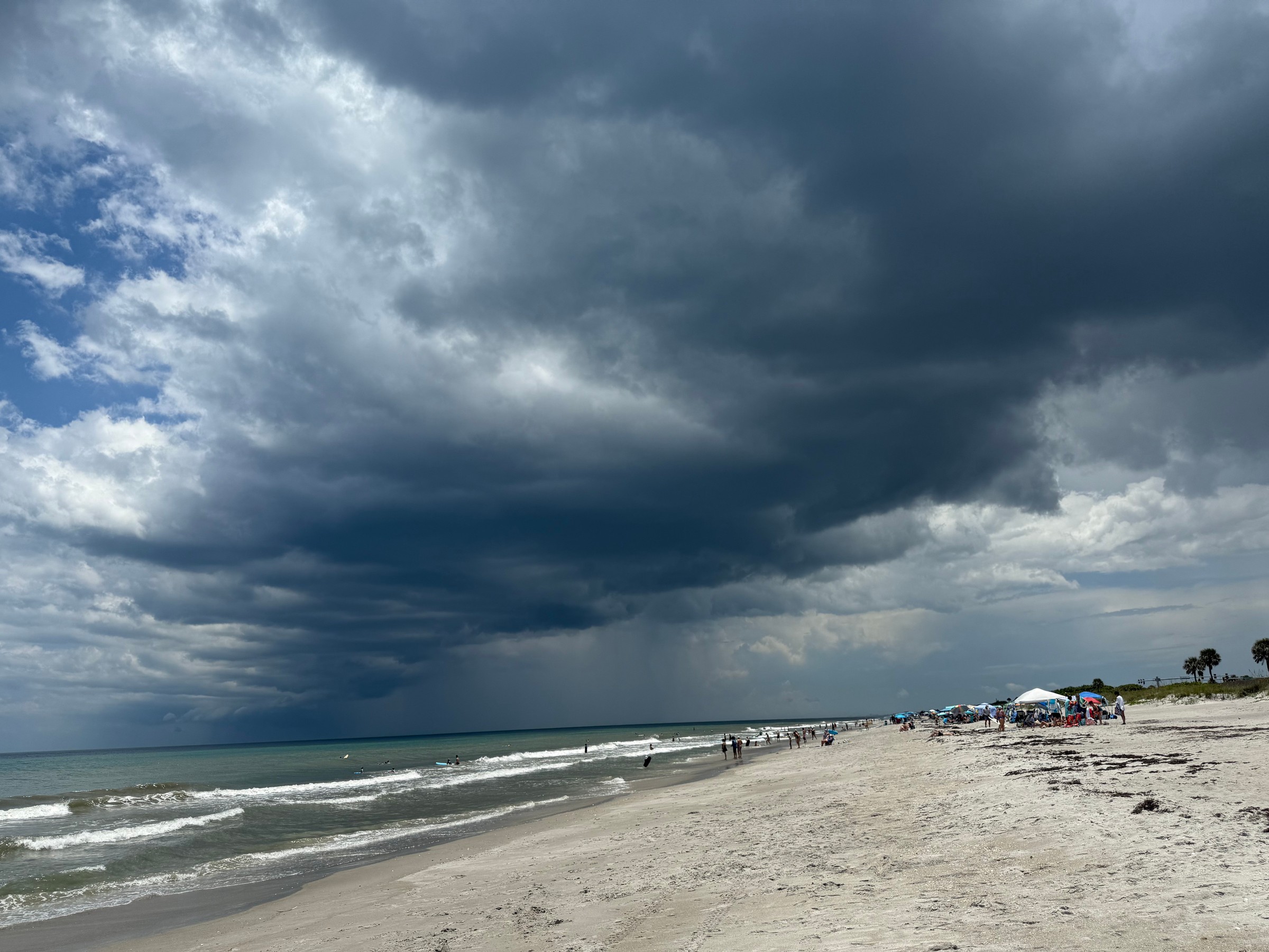
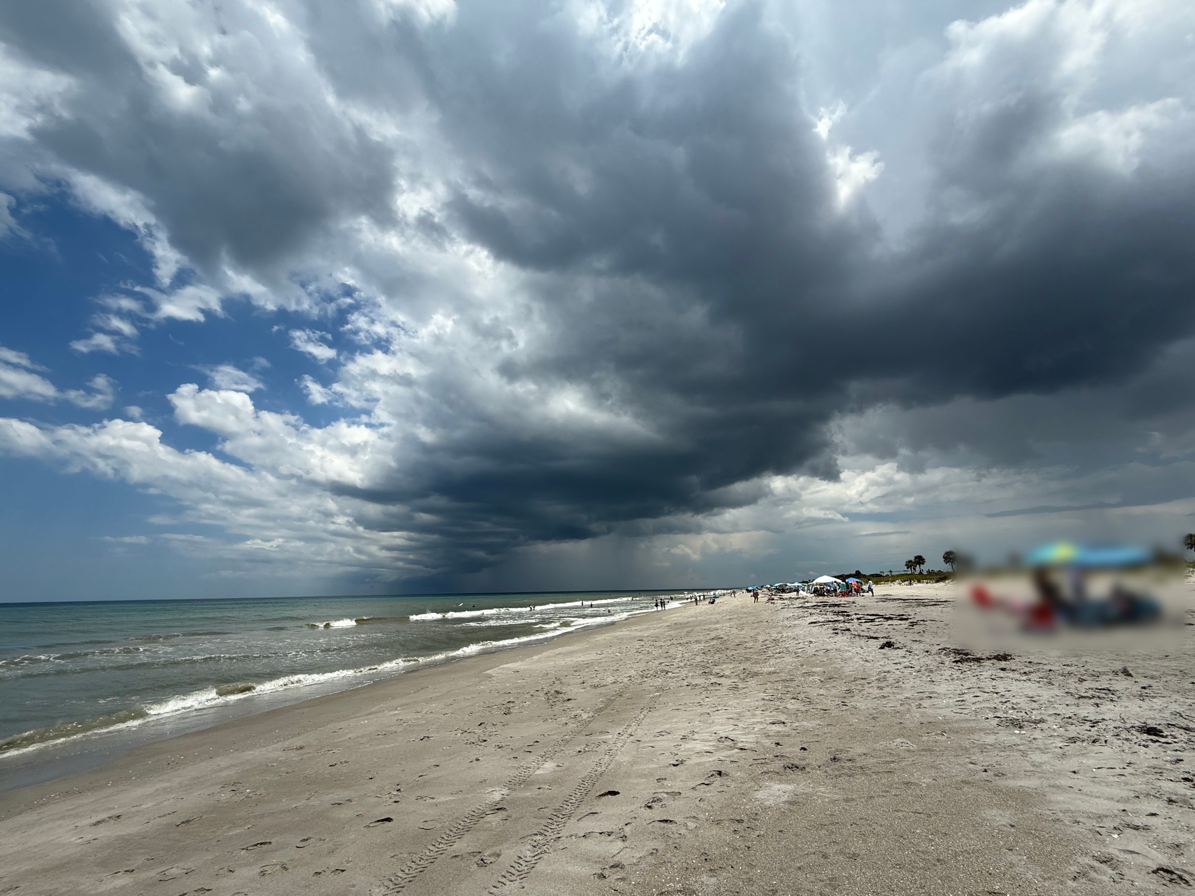
The dark curtain hanging from a storm over the ocean or lagoon is rain falling out of it. The NWS Spotter's Field Guide describes a few shapes worth watching for:
- Downbursts are small areas of strong, sometimes damaging wind caused by air rushing down out of a storm and spreading out in straight lines when it hits the ground.
- Wet downbursts can look like rounded balls of rain dropping quickly from the cloud.
- A rain foot is a spot where the rain curtain bends outward near the ground. It marks strong outflow winds.
- Virga is rain that evaporates before it reaches the ground.
Lightning: the real danger at the beach
Central Florida is the most active lightning area in the country, according to a Feb. 2, 2026, statement from NWS Melbourne. Sea breezes collide almost every day from mid-May through mid-October and set off storms. By preliminary counts, lightning killed 21 people nationwide in 2025, and Florida had the most deaths of any state with four. The forecast office says lightning is the second-leading weather-related cause of death in Florida, after rip currents.
This year, the NWS national lightning fatality list shows 16 deaths in the U.S. as of its Sept. 22 update, six of them in Florida. One was a man who was in the water at Fort Myers Beach on July 3. The figures are preliminary.
NWS Melbourne's advice comes down to a few rules:
- Don't wait for thunder. Get to shelter as soon as the sky darkens. If you can hear thunder, you're close enough to be struck. Lightning can hit more than 10 miles from a storm, and the office's lightning safety page notes documented Florida strikes more than 25 miles from the storm's center.
- Know what counts as shelter. A sturdy, fully enclosed building is best, and a hard-topped metal vehicle is next best. Beach shacks, picnic pavilions, dugouts, sheds and trees don't protect you, and neither do golf carts or convertibles.
- Watch the edges of the storm. Most lightning deaths happen before a storm reaches its peak or soon after the rain stops. Stay inside until 30 minutes after the last thunder.
- Estimate the distance. Count the seconds between a flash and its thunder, then divide by five. That's roughly how many miles away the strike was.
- On the water, boaters without a cabin should crouch low in the middle of the boat. Many people struck in Florida were near water, out in the open or near trees, the office says.
The NWS slogan sums it up: When Thunder Roars, Go Indoors.
Want to help the forecasters?
NWS Melbourne runs free SKYWARN storm spotter classes that last about two hours. You need a formal class to become an official spotter for the Melbourne office. The current class schedule lists sessions in neighboring counties, but none in Brevard right now.
Photos are file photos from past storms, not from this week's weather.
Photos 5
Tap a photo to enlarge it.
File photo: A shelf cloud rolls over the Indian River, seen from the Eau Gallie Causeway in Melbourne on Aug. 29, 2023.
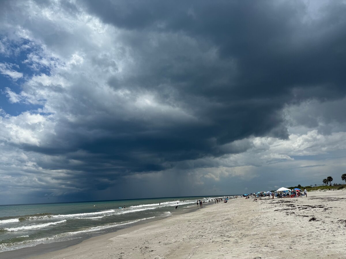
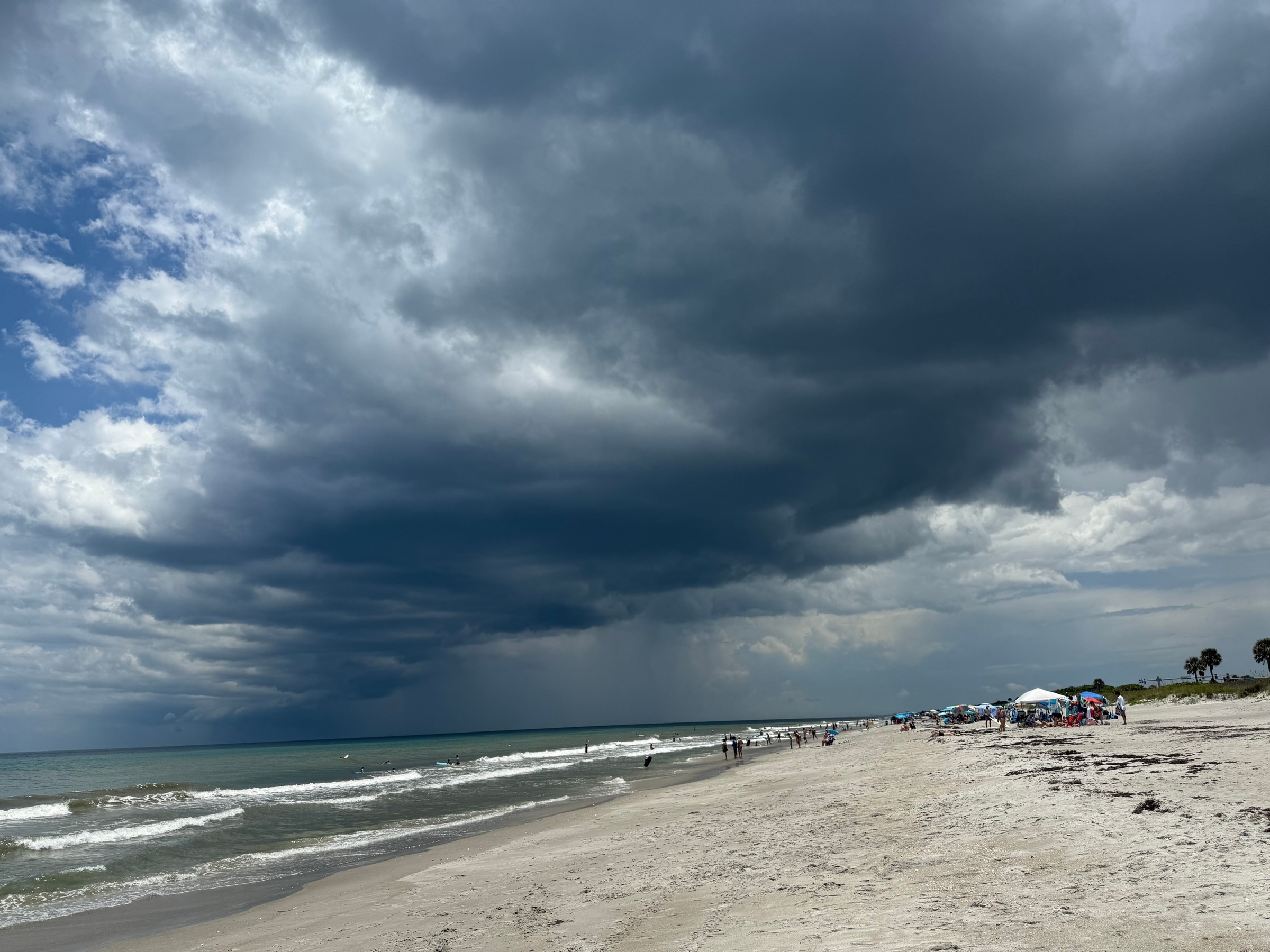
File photo: Storm clouds and a rain shaft move in over a south Brevard beach on July 6, 2025.
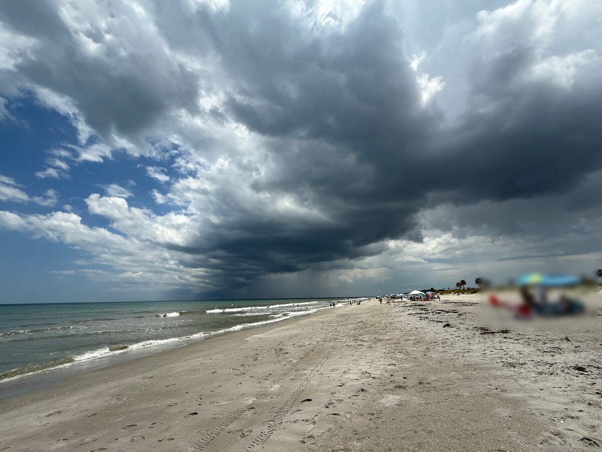
File photo: A storm cell drops a rain shaft over the Atlantic off a south Brevard beach on July 6, 2025.
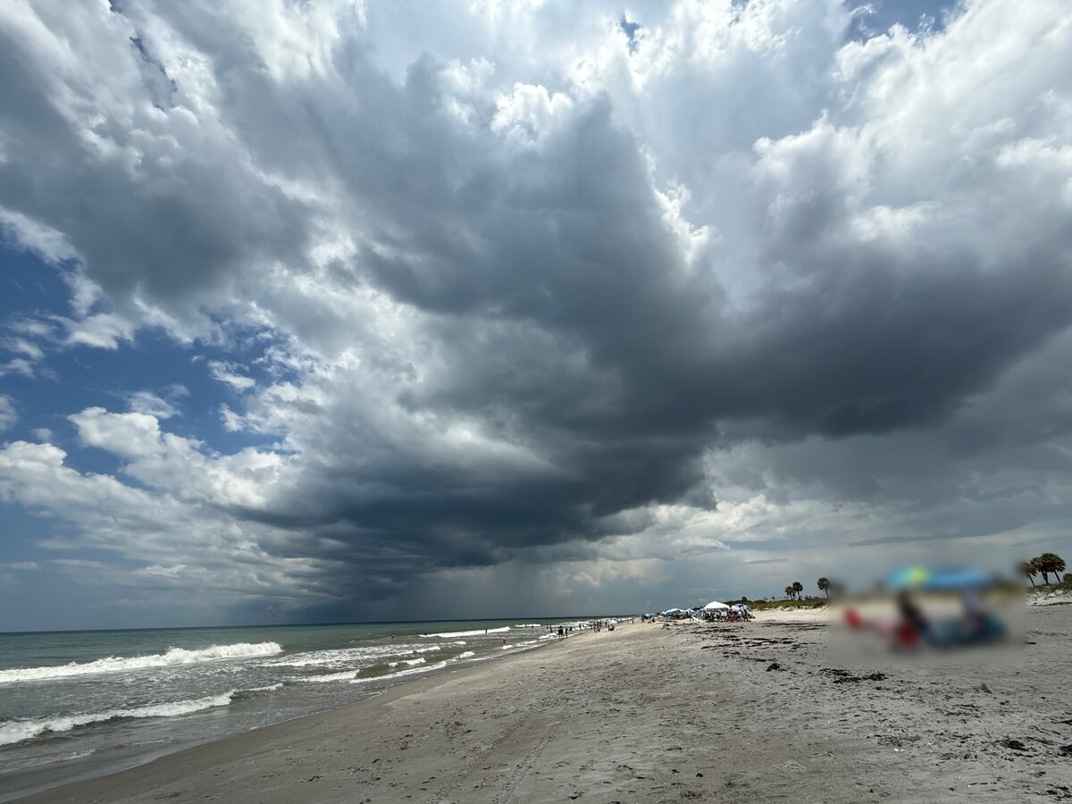
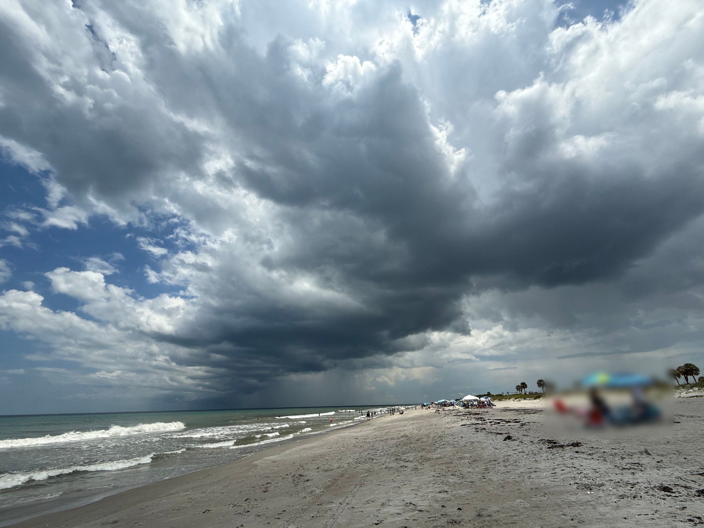
File photo: Towering storm clouds build over the surf at a south Brevard beach on July 6, 2025.
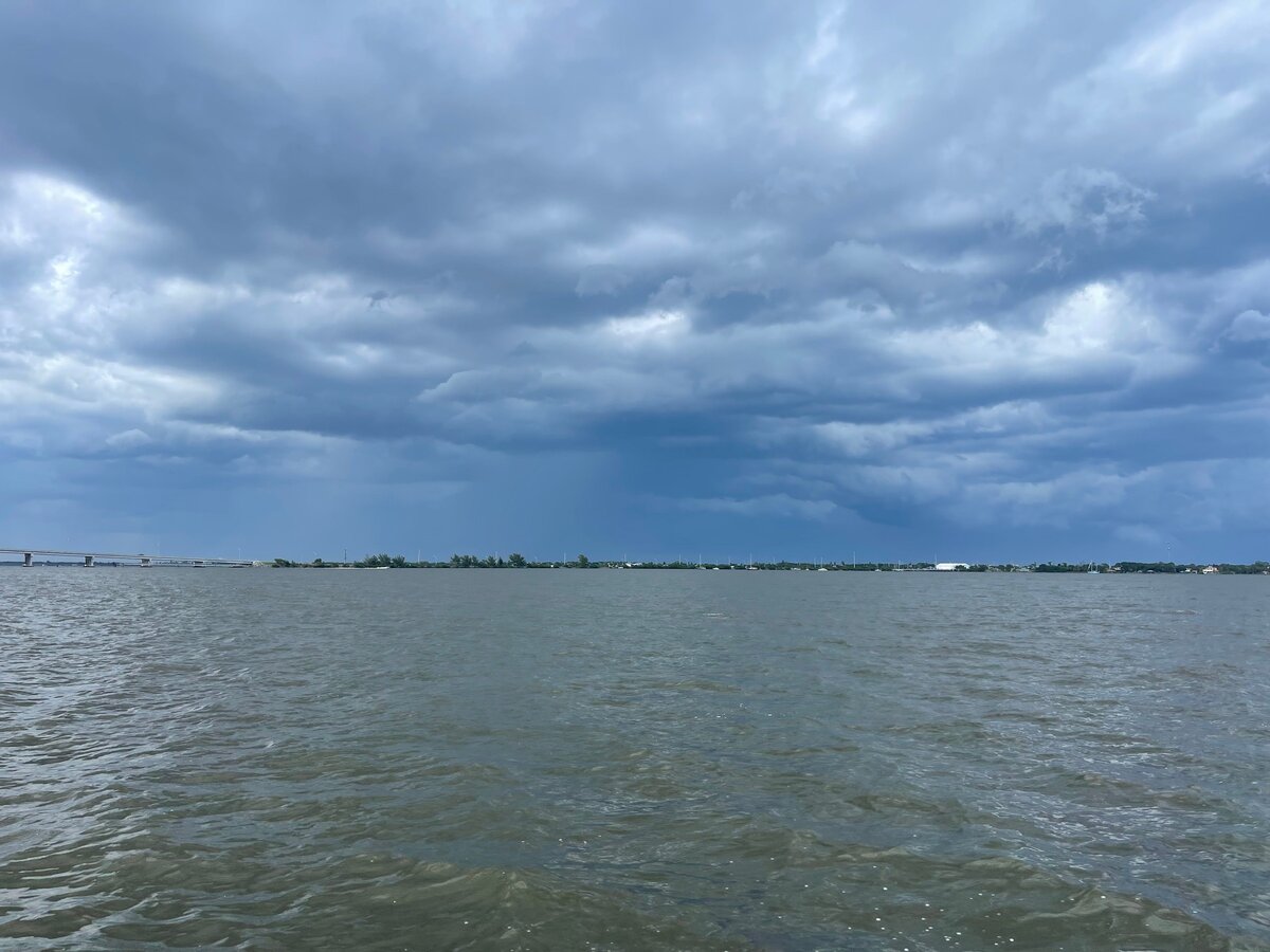
File photo: Storm clouds and rain hang over the Indian River Lagoon near Melbourne on July 9, 2023.
Photo: Space Coast Wire Affiliate
‹ Previous5 / 5Next ›Full size
Sources
- NWS Glossary: Shelf Cloud forecast.weather.gov/glossary.php?word=shelf+cloud
- NWS Louisville: Shelf Cloud versus a Wall Cloud www.weather.gov/lmk/shelfcloudversusawallcloud
- NWS Weather Spotter's Field Guide: Downbursts www.weather.gov/spotterguide/downbursts
- NWS Melbourne Public Information Statement: Lightning Awareness Day (Feb. 2, 2026) www.weather.gov/media/mlb/SWAW2026_Lightning.pdf
- NWS Melbourne: Lightning Safety www.weather.gov/mlb/lightning_safety
- NWS: Lightning Fatalities in 2026 (preliminary, updated Sept. 22, 2026) www.weather.gov/safety/lightning-fatalities
- NWS Melbourne: SKYWARN Program www.weather.gov/mlb/skywarn
Spot something wrong? Request a correction · Our standards