Brevard sets a new daily lightning record in the Wire's data, with 364 strikes so far Monday
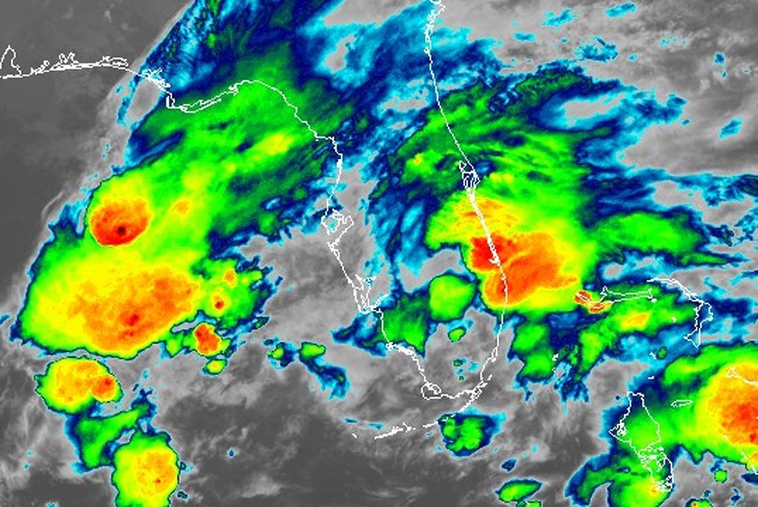
Lightning was heaviest overnight, between 1 and 2 a.m., while flooding rain fell across the county. The Wire's lightning records go back only to October 2026.
Written with AI assistance, with sources linked below.

Local Weather
Measured on Brevard's beachside by our own weather station
- Wind
- 5 mph SSW, gusts 6 mph
- Rain today
- 11.69 in
- Humidity
- 99%
- Pressure
- 30.04 inHg ↓ falling
Updated 2:43 PM ET
Our station's outlook (based on local readings, not an official forecast)
Special Marine Warning in effect: rain and storms on radar near Brevard now. NWS Melbourne, until 3:00 PM ET.
Based on readings to 2:43 PM ET. Rules: 3- and 12-hour pressure change, wind shift and humidity/dew point trend. For official forecasts and warnings see the National Weather Service in Melbourne.
Sun
Sunrise 6:35 AM · Sunset 5:38 PM
Moon
Last Quarter, 40% lit
Sun and moon times are calculated on our server for Brevard's beachside. Daily weather log, records and forecast →
Confirmed by: National Weather Service Melbourne
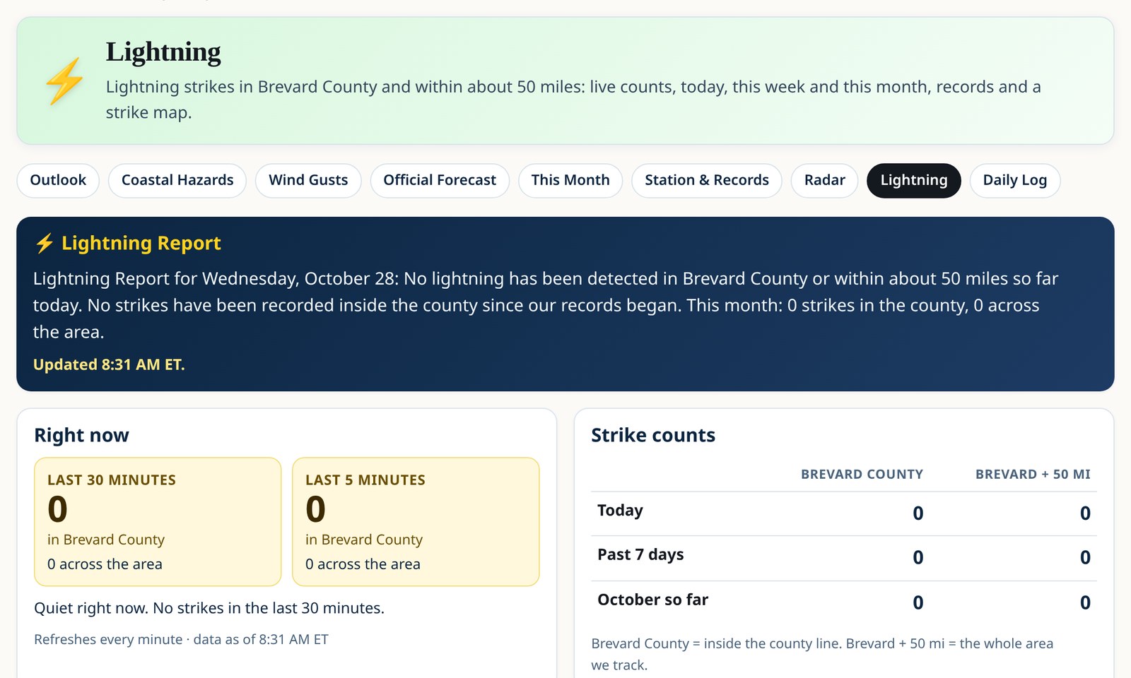
This story reflects lightning data through 12:11 p.m. ET and NWS forecasts as of 1:20 p.m. ET Monday. See our live lightning page for current data.
Brevard County had 364 lightning strikes so far Monday, a new daily high for the county in the Space Coast Wire's lightning data, which beat the previous high of 199. The Wire began keeping these records in October 2026, so the record covers only about a month of data and is not an all-time record.
Over the last 24 hours, the county had 554 strikes. The wider ring around the county had 10,437 strikes in that time, and 7,566 so far Monday.
The busiest hour was 1 to 2 a.m. ET, when the ring around the county had 2,576 strikes and the county had 31. The most recent strike in the county came at 12:11 p.m. ET.
Strikes within 5 miles of these towns:
- Malabar: 357
- Grant-Valkaria: 339
- Palm Bay: 259
- Melbourne Beach: 205
- Indialantic: 163
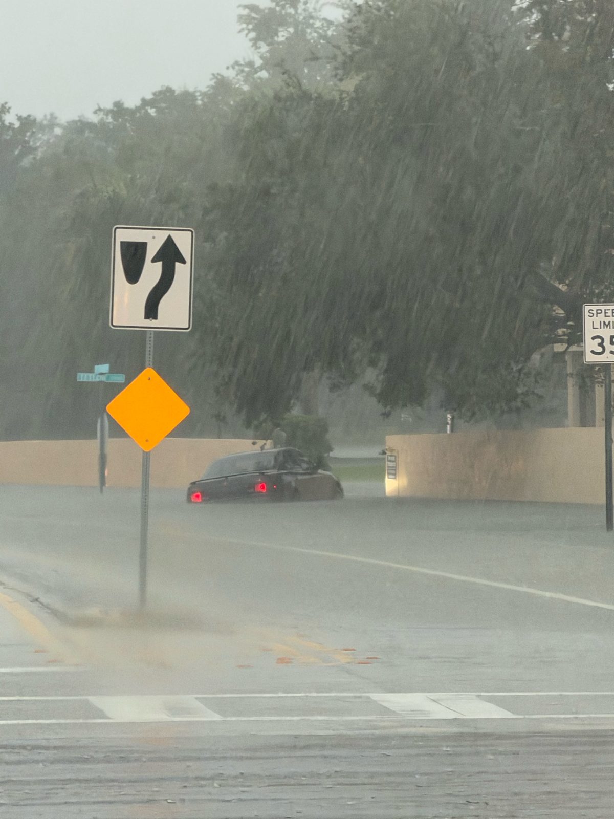
The storms came with heavy flooding rain. A Flash Flood Emergency is in effect for Palm Bay, Melbourne and West Melbourne, and NWS Melbourne has several flood and flash flood warnings across the county. See our Flash Flood Emergency story and our Flash Flood Warnings story for the latest.
More storms are possible. The NWS forecast for Melbourne calls for showers and thunderstorms this afternoon, with showers and thunderstorms likely tonight and again Tuesday before 1 p.m.
The National Weather Service's lightning safety advice is simple: when thunder roars, go indoors, and stay inside until 30 minutes after the last thunder.
Lightning data: WarPulse Lightning API. See the Wire's live lightning page.
Check NWS Melbourne for the latest alerts.
Sources
- Lightning data: WarPulse Lightning API (Space Coast Wire live lightning page) spacecoastwire.com/weather/lightning
- NWS Melbourne forecast for Melbourne (API), Nov. 2, 2026 api.weather.gov/gridpoints/MLB/58,51/forecast
- NWS Melbourne active alerts (API) api.weather.gov/alerts/active?area=FL
- NWS lightning safety www.weather.gov/safety/lightning
- NWS Melbourne www.weather.gov/mlb/
Spot something wrong? Request a correction · Our standards
Comments
Keep it friendly. Rude, hostile or personal-attack comments will be removed.