Rough Surf and Rip Currents Hit Brevard Beaches as Storms Flood Okeechobee
Rough surf and dangerous rip currents are expected along the Space Coast into Tuesday, after a stormy Sunday that flooded roads in Okeechobee County.
Written with AI assistance, with sources linked below.
Local Weather
Measured on Brevard's beachside by our own weather station
- Wind
- 6 mph SW, gusts 11 mph
- Rain today
- 0.61 in
- Humidity
- 92%
- Pressure
- 30.14 inHg → steady
Updated 7:43 PM ET
Our station's outlook (based on local readings, not an official forecast)
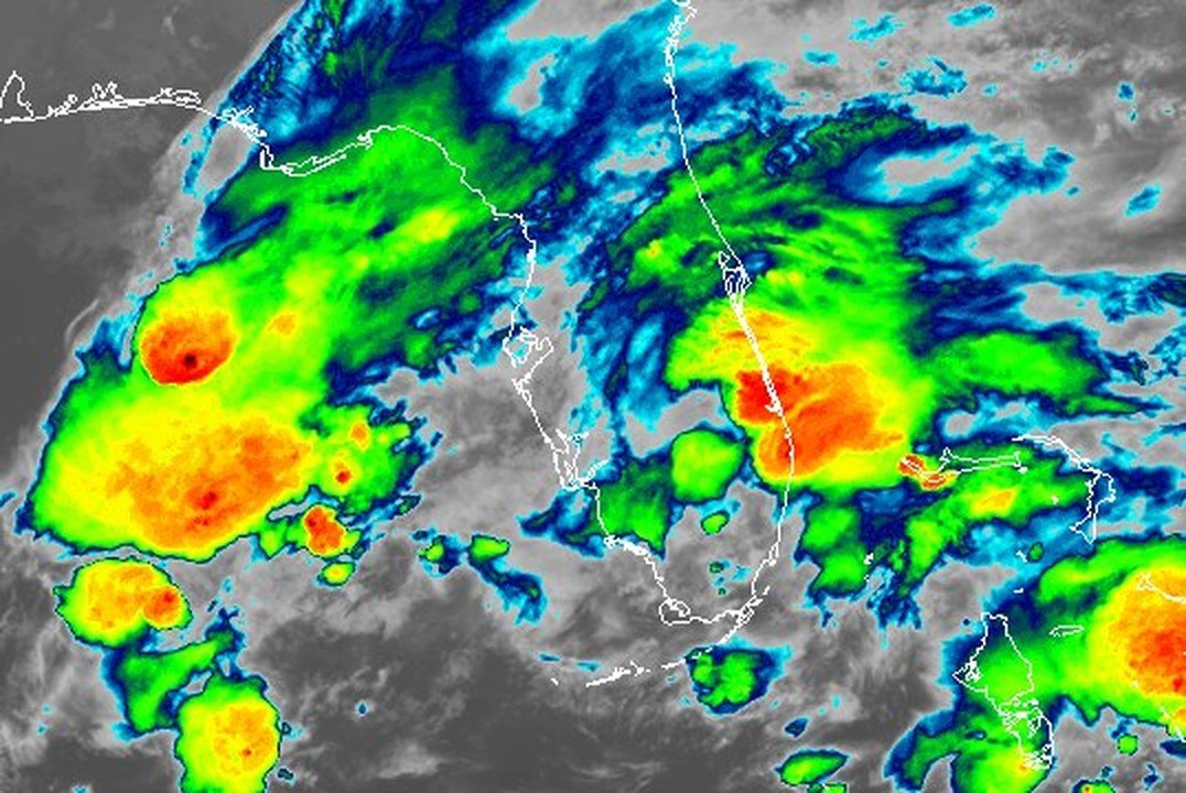
Flood Watch in effect: rain and storms on radar near Brevard now. NWS Melbourne, until Mon 3:00 PM ET.
Based on readings to 7:43 PM ET. Rules: 3- and 12-hour pressure change, wind shift and humidity/dew point trend. For official forecasts and warnings see the National Weather Service in Melbourne.
Sun
Sunrise 6:34 AM · Sunset 5:39 PM
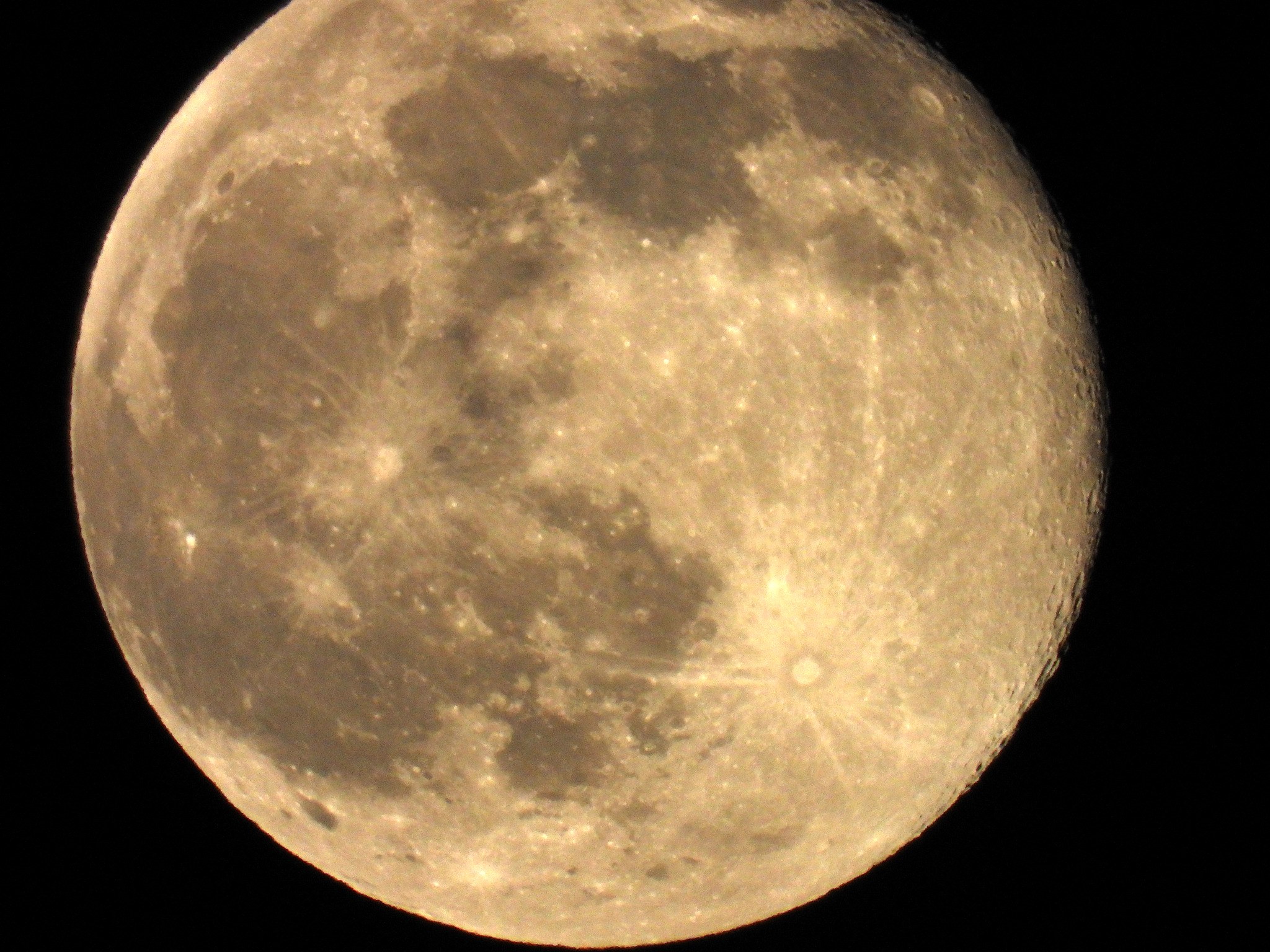
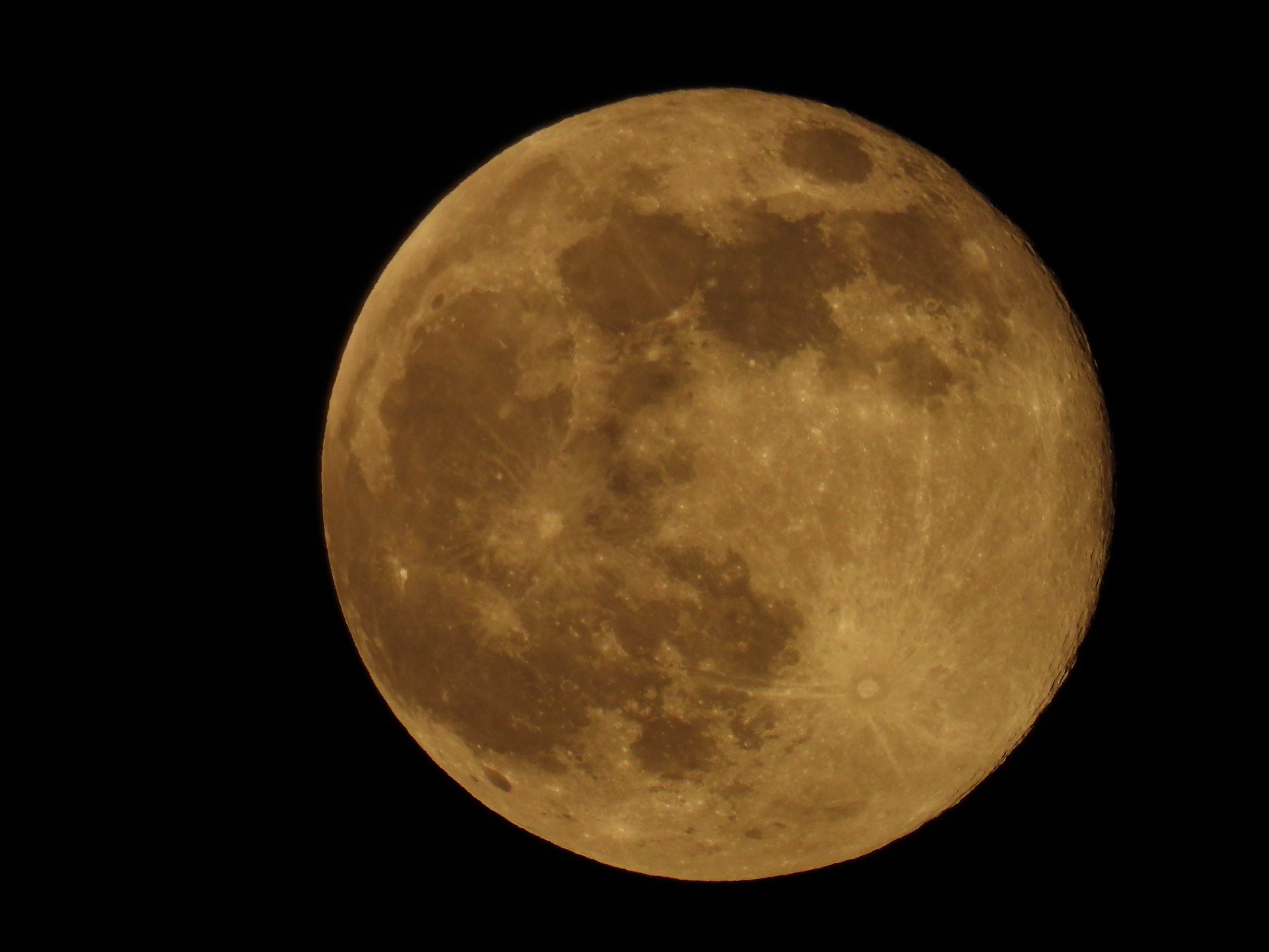
Moon
Last Quarter, 49% lit
Sun and moon times are calculated on our server for Brevard's beachside. Daily weather log, records and forecast →
Confirmed by: National Weather Service Melbourne
AI-assisted. Every NWS detail checked against the bulletin text received by our station.
Officials are telling Brevard beachgoers to stay out of the water. Rough surf and dangerous rip currents are expected along the Space Coast into Tuesday, after a stormy Sunday that flooded roads in Okeechobee County.
The National Weather Service in Melbourne has a High Surf Advisory in effect for coastal Volusia, Brevard and Indian River counties until 7 p.m. Monday, calling for "large breaking waves of 5 to 7 feet in the surf zone." A High Rip Current Risk lasts "through late Tuesday night."
"Swimmers should remain out of the water due to large breaking waves and dangerous surf conditions," the advisory says. "Rip currents can sweep even the best swimmers away from shore into deeper water." Source: National Weather Service
Boaters face rough conditions as well. A Small Craft Advisory runs until 10 a.m. Tuesday for the waters off Brevard, with "east winds 15 to 20 knots with gusts up to 25 knots and seas 5 to 8 feet" within 20 nautical miles of shore. At 4:45 p.m. Sunday, the weather service also issued a Special Marine Warning for the waters from the Volusia-Brevard county line south to Jupiter Inlet, warning that "Small craft could be damaged in briefly higher winds and suddenly higher waves." Source: National Weather Service
Farther south, strong storms moved through the Treasure Coast late Sunday afternoon. Special Weather Statements at 4:47 and 5:15 p.m. tracked storms near Port St. Lucie and southwest of Vero Beach, with "Wind gusts up to 50 mph." The 5:15 p.m. statement added that "Conditions are favorable for the development of brief funnel clouds." Source: National Weather Service
The worst of the rain fell on Okeechobee County. The weather service extended a Flash Flood Warning for southeastern Okeechobee County several times on Sunday, from 12:58 p.m. through 5:05 p.m., with the last extension running until 6:30 p.m. The 5:05 p.m. warning said: "Between 5 and 9 inches of rain have fallen. Additional rainfall amounts up to 1 inch are possible in the warned area. Flash flooding is already occurring."
"Law enforcement reports portions of SR 70 and US 441 in and around the City of Okeechobee are impassable. Motorists should avoid these roads. Water was also entering structures," the warning said. A storm report also noted "flood water entering buildings near the intersection of SW Park St and SW 4th Ave." Source: National Weather Service
The weather service's advice for drivers: "Turn around, don't drown when encountering flooded roads."
For official forecasts and warnings, see weather.gov.
Sources
- National Weather Service Melbourne www.weather.gov/mlb/
- National Weather Service www.weather.gov/
Spot something wrong? Request a correction · Our standards
Comments
Keep it friendly. Rude, hostile or personal-attack comments will be removed.