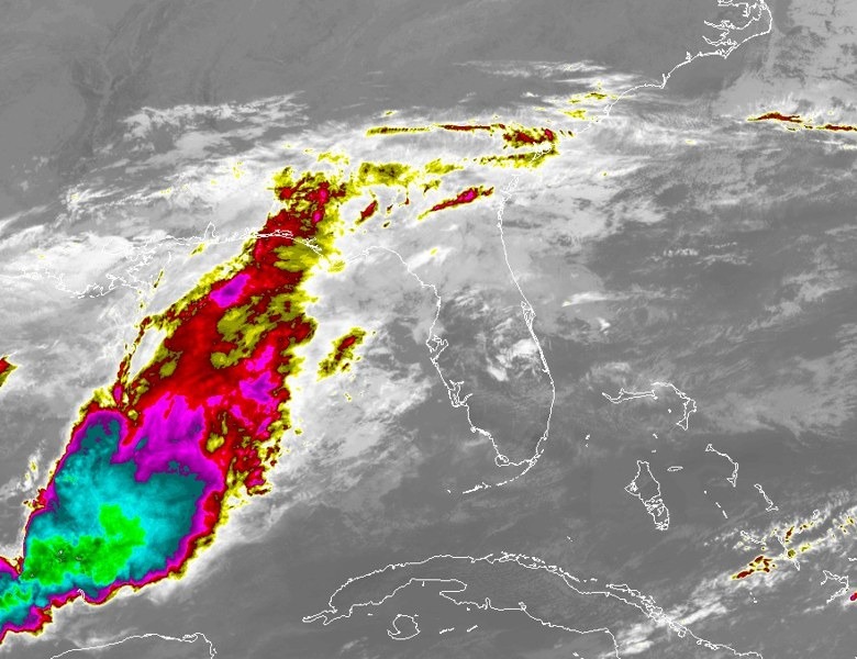
Melbourne sets a second straight daily rain record as more heavy rain arrives
The official NWS climate report recorded 4.94 inches at Melbourne by 5 p.m. Thursday, already breaking the Nov. 19 record of 2.80 inches from 1987. November's total has reached 22.19 inches, and another round of heavy rain is forecast tonight through Friday evening.
Written with AI assistance, with sources linked below.
Local Weather
Measured on Brevard's beachside by our own weather station
- Wind
- 2 mph NNW, gusts 2 mph
- Rain today
- 0.96 in
- Humidity
- 84%
- Pressure
- 29.90 inHg ↓ falling
Updated 4:09 PM ET
Our station's outlook (based on local readings, not an official forecast)
Flood Warning in effect: NWS Melbourne, until Sat 2:30 AM ET.
Based on readings to 4:09 PM ET. Rules: 3- and 12-hour pressure change, wind shift and humidity/dew point trend. For official forecasts and warnings see the National Weather Service in Melbourne.
Sun
Sunrise 6:49 AM · Sunset 5:29 PM
Moon
Waxing Gibbous, 83% lit
Sun and moon times are calculated on our server for Brevard's beachside. Daily weather log, records and forecast →
Melbourne has set a second straight daily rainfall record, and the rain is not done. The official National Weather Service climate report for Melbourne, valid as of 5 p.m. EST Thursday, Nov. 19, 2026, recorded 4.94 inches today. That already breaks the previous Nov. 19 record of 2.80 inches, set in 1987. Wednesday's official total of 2.61 inches had broken the old Nov. 18 mark of 0.71 inch from 1959, according to an NWS record event report issued at 2:42 a.m. Thursday.
The 5 p.m. climate summary puts Melbourne's November rainfall at 22.19 inches, compared with a normal of 1.63 inches by this date. Since Sept. 1, the official total is 42.14 inches, versus a normal of 14.12 inches. The year-to-date total is 73.50 inches, 25.99 inches above the 47.51-inch normal. Because Thursday's report is valid as of 5 p.m., additional rain tonight can still add to those numbers.
A Public Information Statement issued at 4:42 p.m. Thursday listed rainfall reports over the past 72 hours. In Brevard County, Cape Canaveral Space Force Station led the list at 12.35 inches as of 4:30 p.m., followed by 11.49 inches 1 mile northwest of Cocoa Beach, 10.62 inches 1 mile north of Patrick Space Force Base, 8.38 inches 1 mile south of Melbourne, and 8.30 inches 1 mile west of Titusville. NWS cautions that the reports come from a mix of sources and that not all of the listed totals are considered official. The official Melbourne climate figure of 4.94 inches is Thursday's airport total as of 5 p.m., not a 72-hour storm total.
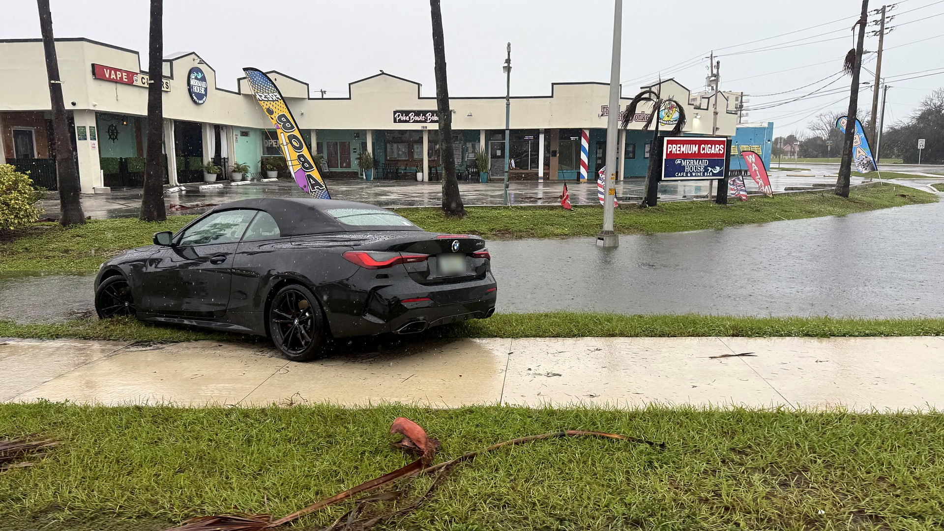
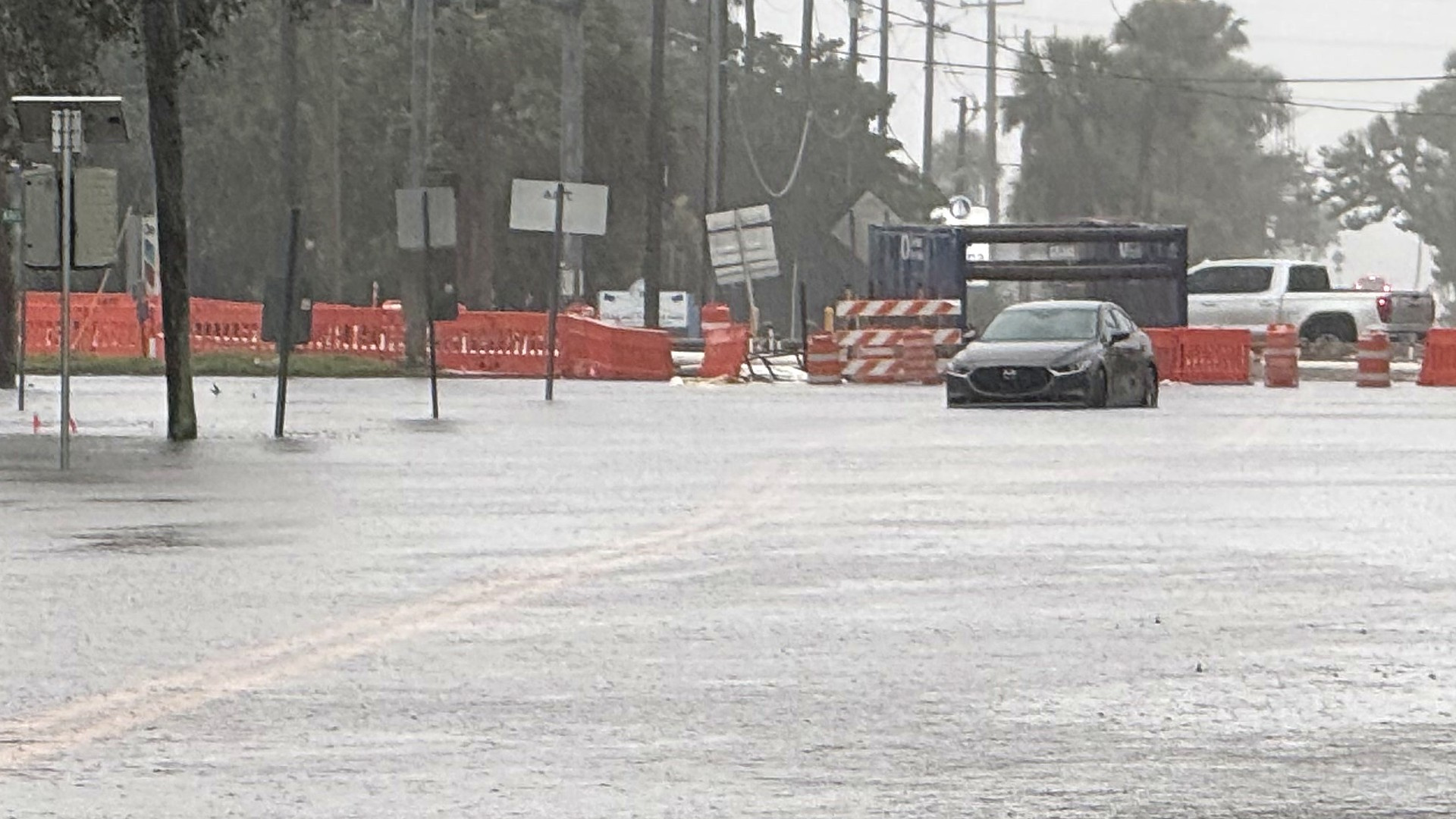
The flooding threat remains high. As of 6:20 p.m. EST Thursday, NWS Melbourne had a Flash Flood Warning in effect until 7 p.m. for northwestern Brevard and southeastern Volusia, including Mims, Scottsmoor and Playalinda Beach, with rainfall rates of 1 to 3 inches an hour. Flood Warnings until 7 p.m. also covered southeastern Brevard (reissued at 5:50 p.m.), central Brevard, and northwestern Brevard and southeastern Orange County. A Wind Advisory for Brevard's mainland and barrier island zones was also in effect until 7 p.m. A Flood Watch remains in effect through 7 p.m. Friday. For a running account of today's warnings, water rescues and road closures, see our flash flooding story. The broader Nov. 16-19 storm is covered in our storm impact story. Brevard Public Schools are closed Friday.
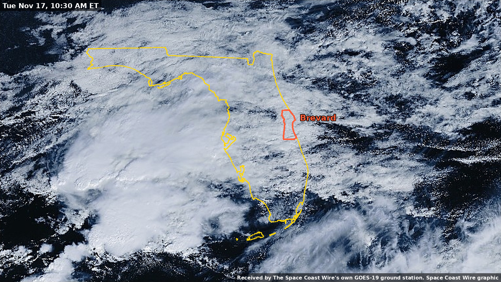
More heavy rain is still in the forecast. In its 3 p.m. Area Forecast Discussion, NWS Melbourne said a High Risk (level 4 of 4) for excessive rainfall continues tonight for much of Brevard and portions of Volusia and Indian River counties. The office forecast scattered to numerous totals of 4 to 6 inches or more of additional rain from Thursday afternoon through Friday evening, with a reasonable worst-case scenario (a 1-in-10 chance) of isolated amounts of 8 to 10 inches or more from Volusia to Indian River County. The Weather Prediction Center has east central Florida in a Slight to High risk for excessive rainfall on Friday, the discussion said.
A High Surf Advisory remains in effect until 7 p.m. Saturday, with a high rip current risk through Saturday evening. The Coastal Hazard Message, issued at 1:19 a.m. Thursday, calls for large breaking waves of 5 to 11 feet in the surf zone and localized beach erosion. The 3 p.m. forecast discussion separately warned of the potential for moderate to locally major beach erosion given the long duration of onshore flow.
Along the St. Johns River, a Flood Warning remains in effect until further notice for the river near Cocoa. The U.S. Geological Survey gauge (site 02232400) read a provisional 18.33 feet at 5:15 p.m. EST Thursday, in major flood (major flood stage is 17.0 feet at this location). That is already above the 17.55-foot flood of record from 1953. The National Water Prediction Service forecast calls for 18.6 feet by 7 p.m. Friday. NWS Melbourne said additional heavy rain is expected to push river levels higher into the weekend and early next week.
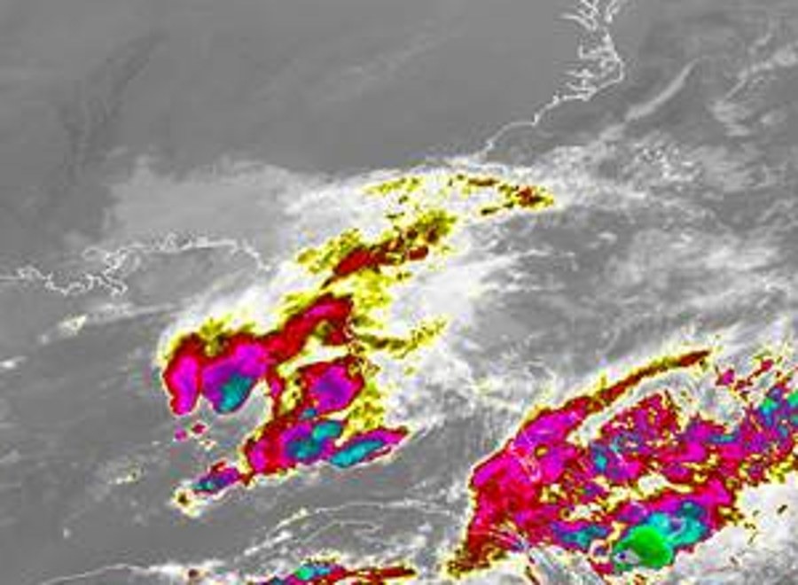
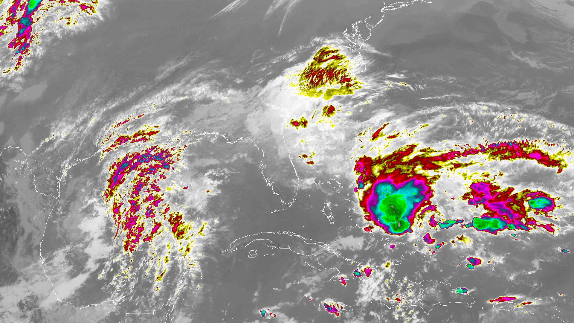
The National Hurricane Center, in its 1 p.m. EST Thursday Tropical Weather Outlook, the latest official outlook as of early Thursday evening, said a non-tropical low pressure system is expected to form along a front east of the Florida peninsula on Friday. "This system could become a subtropical or tropical storm while it moves northward or north-northeastward near or just offshore of the southeastern U.S. coast through the weekend," the outlook said. The official formation chances are low, 30 percent, within 48 hours, and medium, 60 percent, within seven days. The Hurricane Center also said that, regardless of development, strong winds, dangerous surf, and coastal flooding are likely along portions of the southeast and mid-Atlantic coasts into early next week, and that heavy rain and flash flooding will continue for portions of the Florida peninsula through Friday. NWS Melbourne's afternoon discussion cited a 60 percent chance of tropical development for the southwest Atlantic low; the official Hurricane Center outlook draws a distinction between the 48-hour and seven-day windows.
NWS says never drive through flooded roads: turn around, don't drown. The latest warnings and forecasts are at weather.gov/mlb and the National Hurricane Center.
Sources
- NWS Melbourne Climate Report for Melbourne, 5:24 p.m. EST Nov. 19 (valid as of 5 p.m.) api.weather.gov/products/e38a2b13-bc48-44ac-9c6d-9d821a86c42a
- NWS Melbourne Record Event Report, 2:42 a.m. EST Nov. 19 (Nov. 18 daily record) api.weather.gov/products/48551ce6-12eb-43f8-9a17-0f3320b48ac9
- NWS Melbourne Public Information Statement, 72-hour precipitation, 4:42 p.m. EST Nov. 19 api.weather.gov/products/340ebac7-42f2-4b9d-a1cf-b2be20910ab0
Show all 18 sourcesShow fewer
- NWS Melbourne Area Forecast Discussion, 3:00 p.m. EST Nov. 19 api.weather.gov/products/e425ea45-f946-4da4-aaf4-0f6f5ac3800a
- NWS Melbourne Coastal Hazard Message, 1:19 a.m. EST Nov. 19 api.weather.gov/products/d8ae2289-38e0-426c-bcda-9850c7198378
- NWS Melbourne Flash Flood Warning, northwestern Brevard and southeastern Volusia, 4:47 p.m. api.weather.gov/alerts/urn:oid:2.49.0.1.840.0.850221d8e664288dd71d174e6b7a98bdff557322.001.1
- NWS Melbourne Flood Warning, southeastern Brevard, 5:50 p.m. api.weather.gov/alerts/urn:oid:2.49.0.1.840.0.0397a6dfa348258a9e158f8f63f8712dd3f3d562.001.1
- NWS Melbourne Flood Warning, central Brevard, 2:38 p.m. api.weather.gov/alerts/urn:oid:2.49.0.1.840.0.5c48efb57d702df9984a6aeca4061ef24b7b6b38.001.1
- NWS Melbourne Flood Warning, northwestern Brevard and southeastern Orange, 2:55 p.m. api.weather.gov/alerts/urn:oid:2.49.0.1.840.0.de87fa85e32e148156bc017e9a9d57a012ad5049.001.1
- NWS Melbourne Wind Advisory until 7 p.m. Thursday api.weather.gov/alerts/urn:oid:2.49.0.1.840.0.89470a28646ddf08609382046441f5ce7a3cd2c3.001.1
- NWS Melbourne Flood Watch through 7 p.m. Friday api.weather.gov/alerts/urn:oid:2.49.0.1.840.0.8c11a51fff36cca6e5c7d021e392a554c3802420.001.1
- NWS Melbourne High Surf Advisory until 7 p.m. Saturday api.weather.gov/alerts/urn:oid:2.49.0.1.840.0.fc7b104332a216f55c6ab1a79423c50676c86862.001.1
- NWS Melbourne High Rip Current Risk through Saturday evening api.weather.gov/alerts/urn:oid:2.49.0.1.840.0.fc7b104332a216f55c6ab1a79423c50676c86862.001.2
- NWS Melbourne Flood Warning, St. Johns River near Cocoa, 1:53 p.m. api.weather.gov/alerts/urn:oid:2.49.0.1.840.0.86db550cd84b5754d5e1feee45096d73de574189.001.1
- USGS St. Johns River near Cocoa, site 02232400 waterdata.usgs.gov/monitoring-location/02232400/
- National Water Prediction Service, St. Johns River near Cocoa (COCF1) water.noaa.gov/gauges/COCF1
- National Hurricane Center Atlantic Tropical Weather Outlook, 1 p.m. EST Nov. 19 www.nhc.noaa.gov/text/MIATWOAT.shtml
- NWS Melbourne www.weather.gov/mlb/
Spot something wrong? Request a correction · Our standards
Comments
Keep it friendly. Rude, hostile or personal-attack comments will be removed.