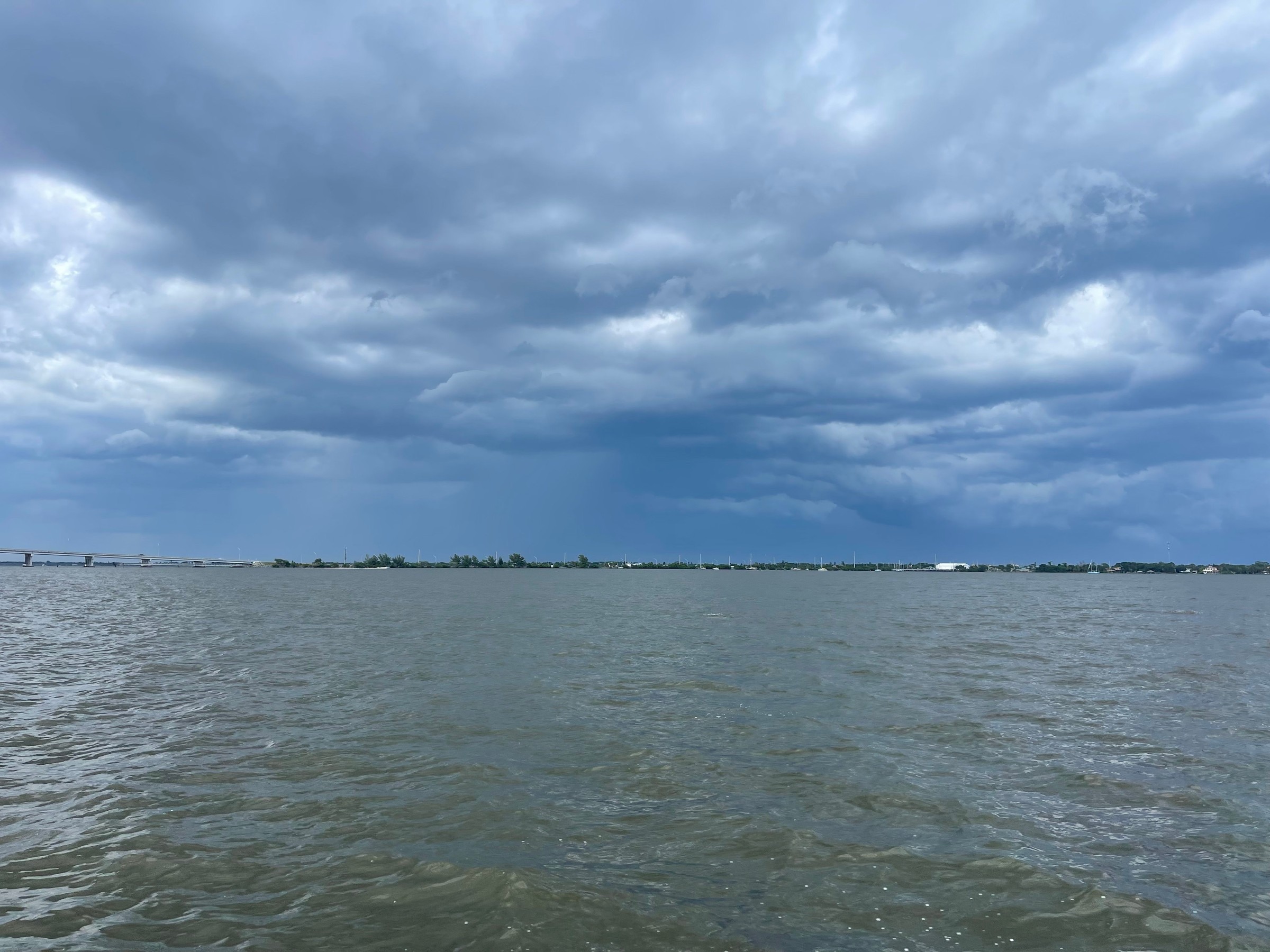
Live lightning strikes now on The Space Coast Wire's Brevard radar map
Strikes across Brevard County and about 50 miles around it now show on our radar map as they're detected, and a new Lightning page tracks counts, a heat map and records.
Written with AI assistance, with sources linked below.
Local Weather
Measured on Brevard's beachside by our own weather station
- Wind
- 5 mph SE, gusts 15 mph
- Rain today
- 0.12 in
- Humidity
- 89%
- Pressure
- 30.05 inHg → steady
Updated 12:30 PM ET
Our station's outlook (based on local readings, not an official forecast)
Little change: pressure is steady, so conditions should stay much like they are now.
Based on readings to 12:30 PM ET. Rules: 3- and 12-hour pressure change, wind shift and humidity/dew point trend. For official forecasts and warnings see the National Weather Service in Melbourne.
Sun
Sunrise 7:32 AM · Sunset 6:42 PM
Moon
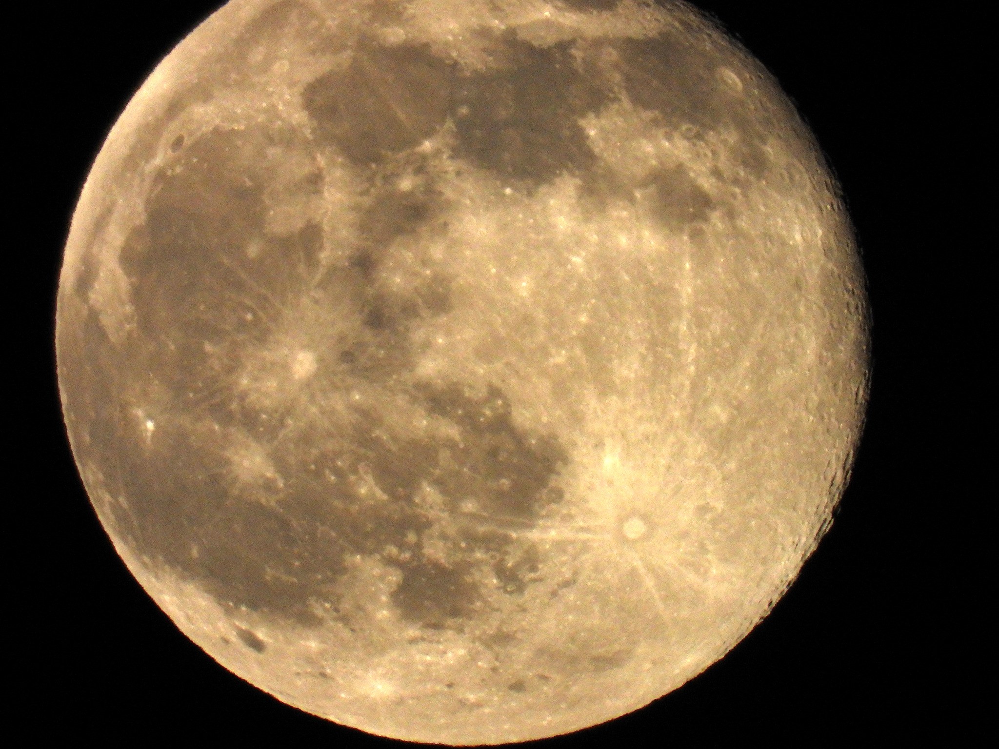
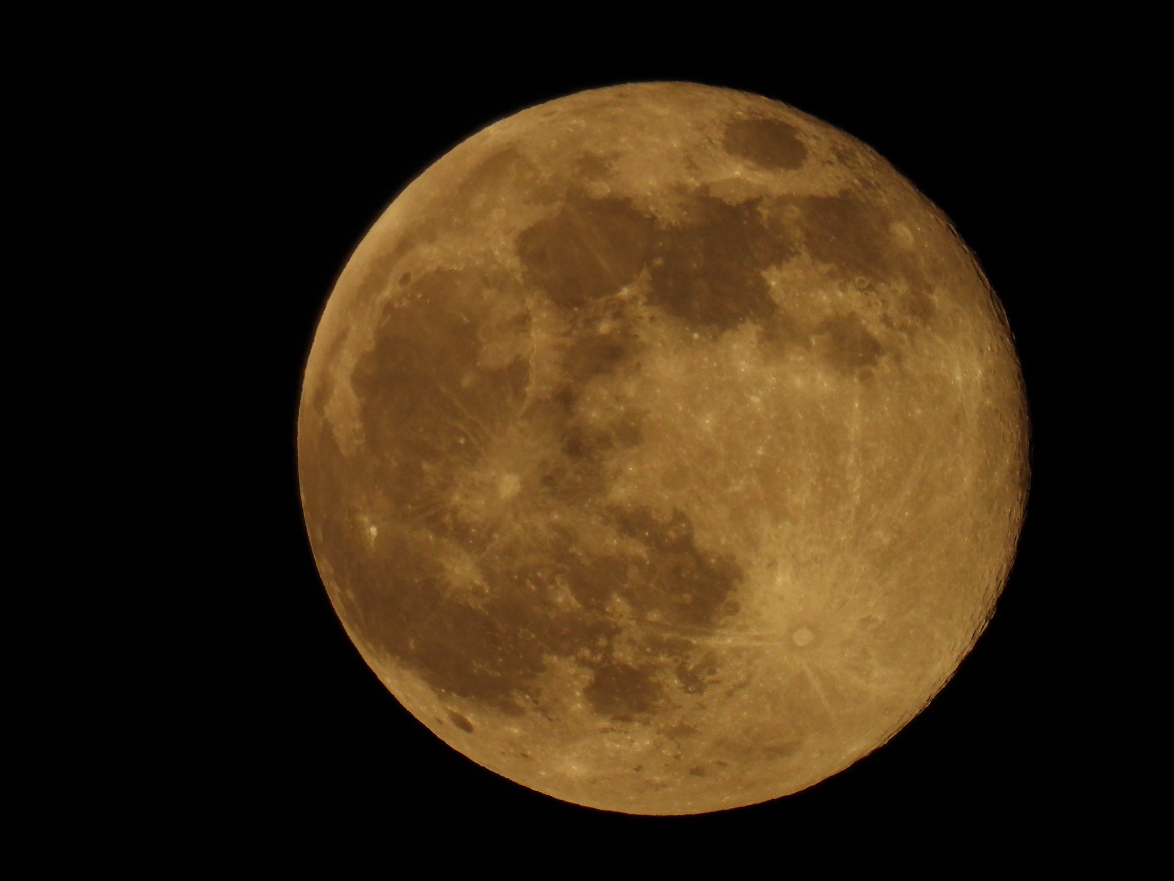
Waning Gibbous, 92% lit
Sun and moon times are calculated on our server for Brevard's beachside. Daily weather log, records and forecast →
The Space Coast Wire's live radar now shows lightning. Strikes detected across Brevard County and about 50 miles around it appear as small bolts on the map at spacecoastwire.com/weather/radar and in our phone radar app, updated about every minute.
Each bolt fades as it ages: bright yellow for strikes in the last 5 minutes, orange for 5 to 15 minutes and dim red for 15 to 30 minutes. Where a storm gets especially busy, with 10 or more strikes within about 2 miles in 5 minutes, the newest bolts are drawn larger with a red glow and labeled "Very active" in the map legend. The Lightning layer is on by default, and the Lightning button turns it off.
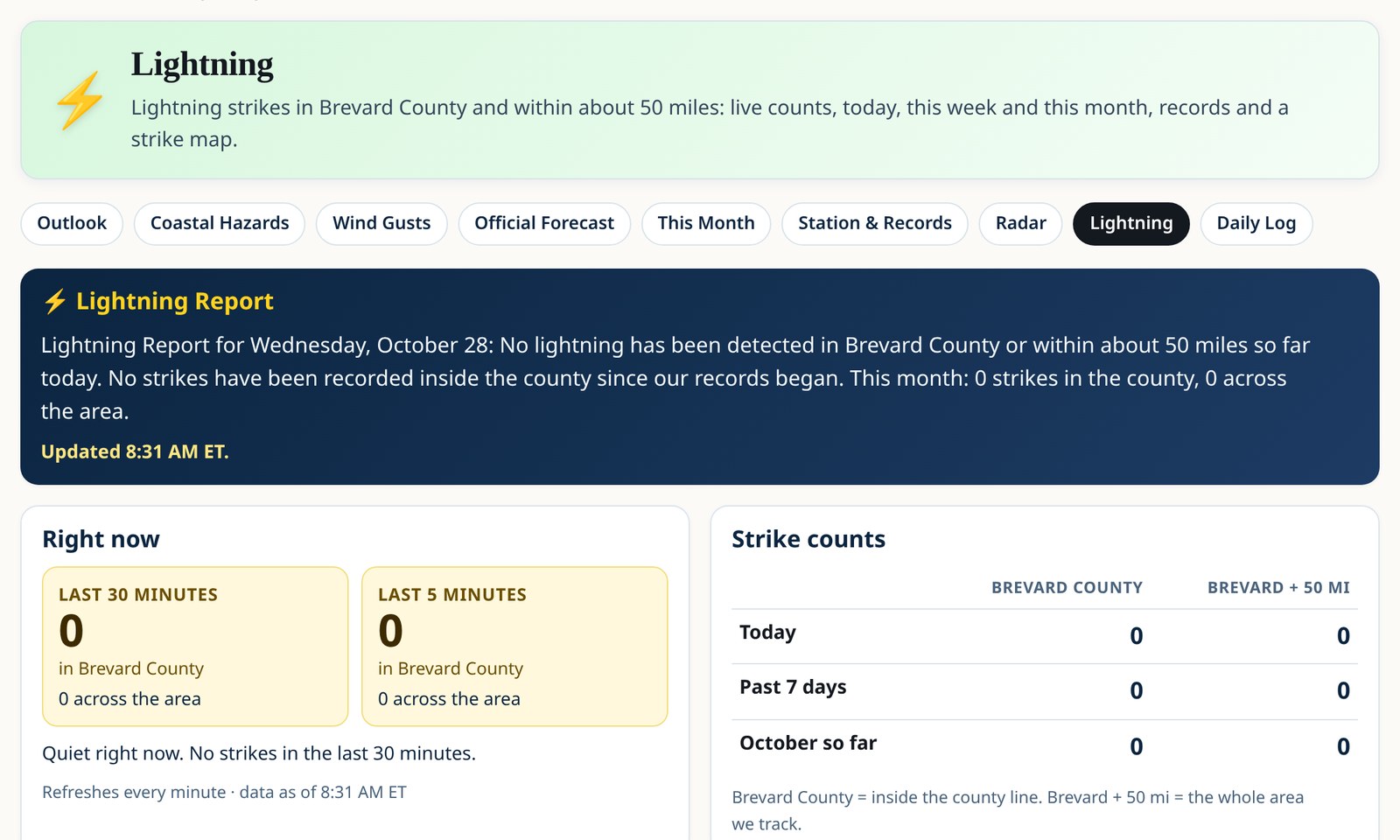
A new Lightning page keeps the running tally:
- strikes in the last 30 minutes and the last 5 minutes;
- totals for today, the past 7 days and the month so far, for Brevard County and for the wider area;
- a 24-hour chart by hour and a strike heat map;
- the nearest recent strike to Titusville, Cocoa, Melbourne, Palm Bay, the Cape and Port Canaveral;
- a town leaderboard and records, kept since October 2026.
When the numbers clearly show a single storm on the move, the page also shows which way it's heading.
When storms knock out power, the map's Lightning box and the Lightning page both link to the Power Outages section of our Coast & Lagoon page. It shows the Florida Division of Emergency Management's Brevard outage report when it's active, plus a link to FPL's Power Tracker.
Lightning data comes from the WarPulse Lightning API. It's informational only and not for safety decisions. Follow National Weather Service warnings, and when thunder roars, go indoors.
See it now: Lightning page · Live radar
Sources
- The Space Coast Wire Lightning page spacecoastwire.com/weather/lightning
- WarPulse Lightning API documentation lightningapi.dev/docs
- National Weather Service lightning safety www.weather.gov/safety/lightning
Spot something wrong? Request a correction · Our standards
Comments
Keep it friendly. Rude, hostile or personal-attack comments will be removed.