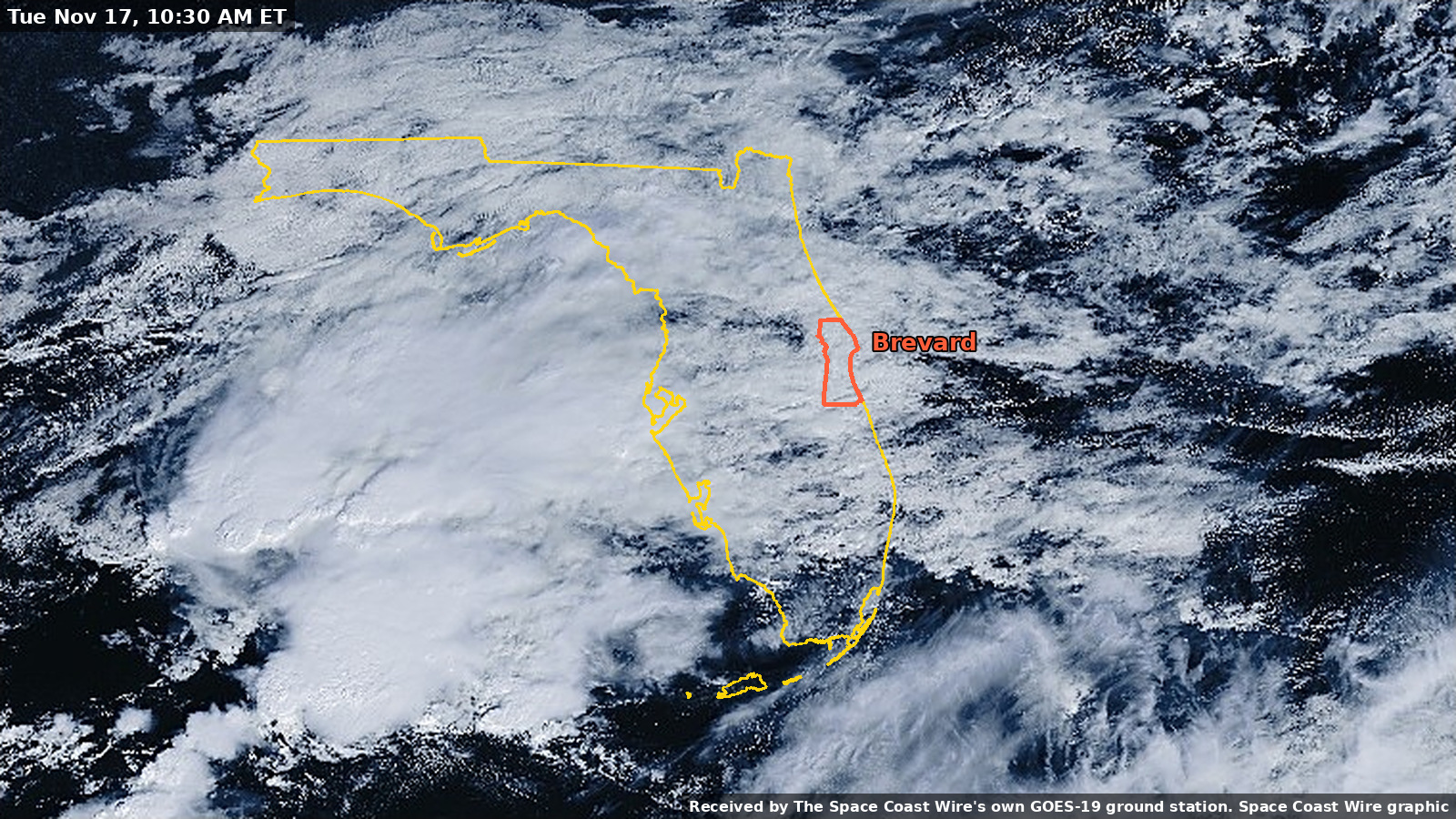
The offshore low is no longer expected to become tropical, but Brevard's record flooding is not over
The National Hurricane Center's 7 p.m. Saturday outlook puts the chance of tropical formation at near 0 percent. Melbourne's official November rainfall has reached 22.63 inches as of 5 p.m., a High Rip Current Risk continues through Sunday evening, and the St. Johns River near Cocoa remains in record major flood.
Written with AI assistance, with sources linked below.
Local Weather
Measured on Brevard's beachside by our own weather station
- Wind
- 6 mph W, gusts 11 mph
- Rain today
- 0.02 in
- Humidity
- 93%
- Pressure
- 29.89 inHg → steady
Updated 6:39 PM ET
Our station's outlook (based on local readings, not an official forecast)
Flood Warning in effect: rain and storms on radar near Brevard now. NWS Melbourne, until 11:15 PM ET.
Based on readings to 6:39 PM ET. Rules: 3- and 12-hour pressure change, wind shift and humidity/dew point trend. For official forecasts and warnings see the National Weather Service in Melbourne.
Sun
Sunrise 6:50 AM · Sunset 5:29 PM
Moon
Waxing Gibbous, 91% lit
Sun and moon times are calculated on our server for Brevard's beachside. Daily weather log, records and forecast →
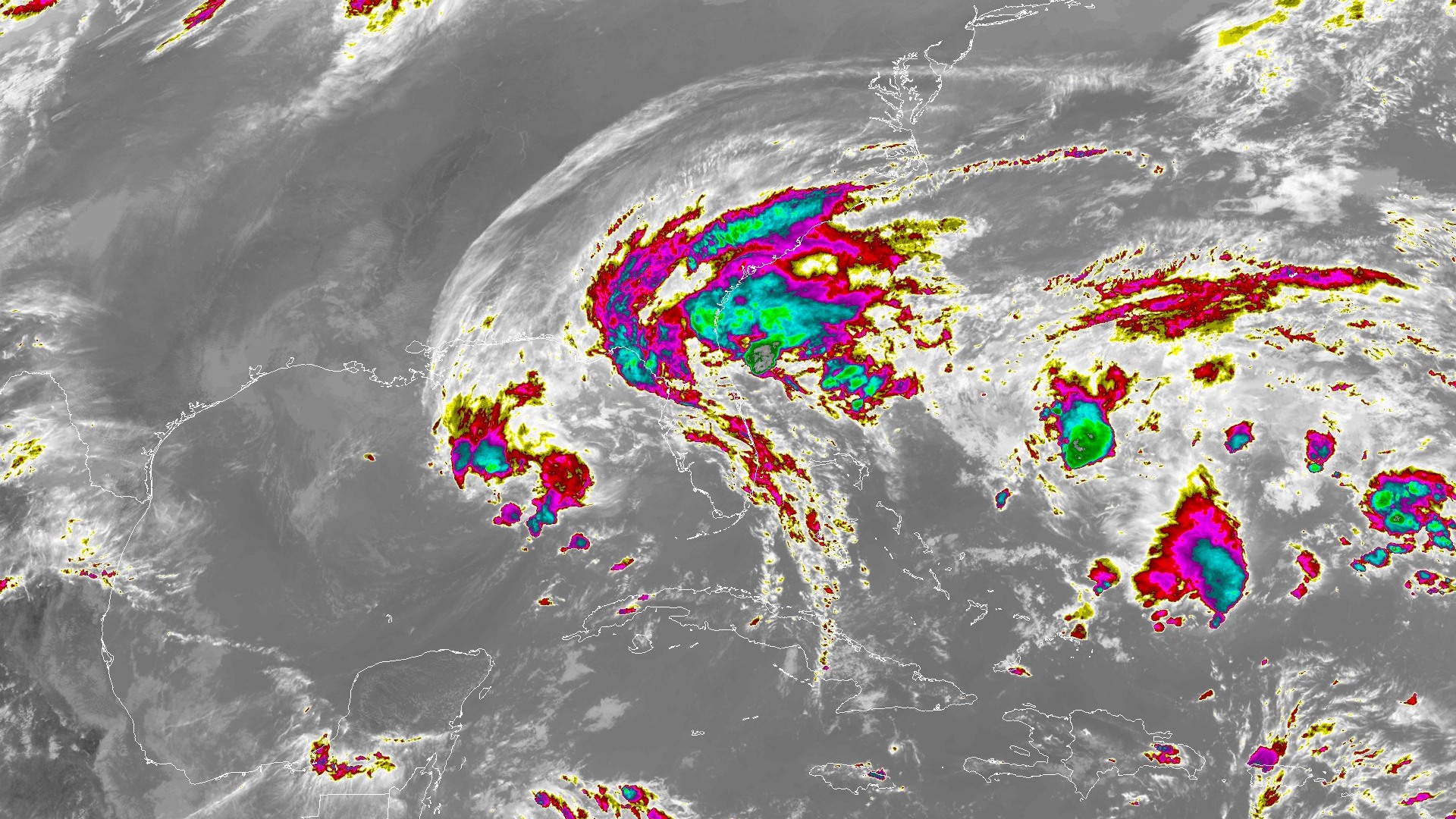
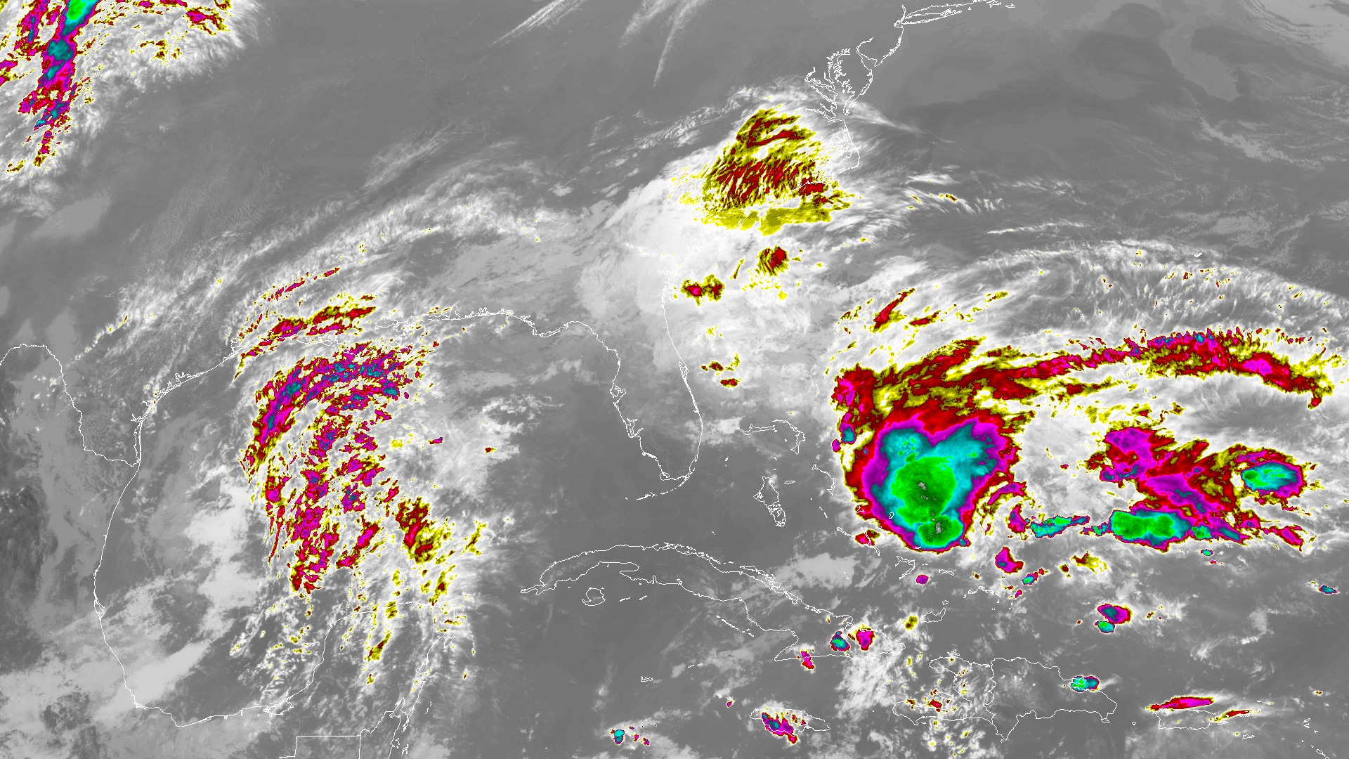
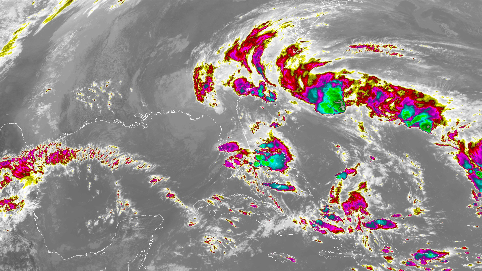
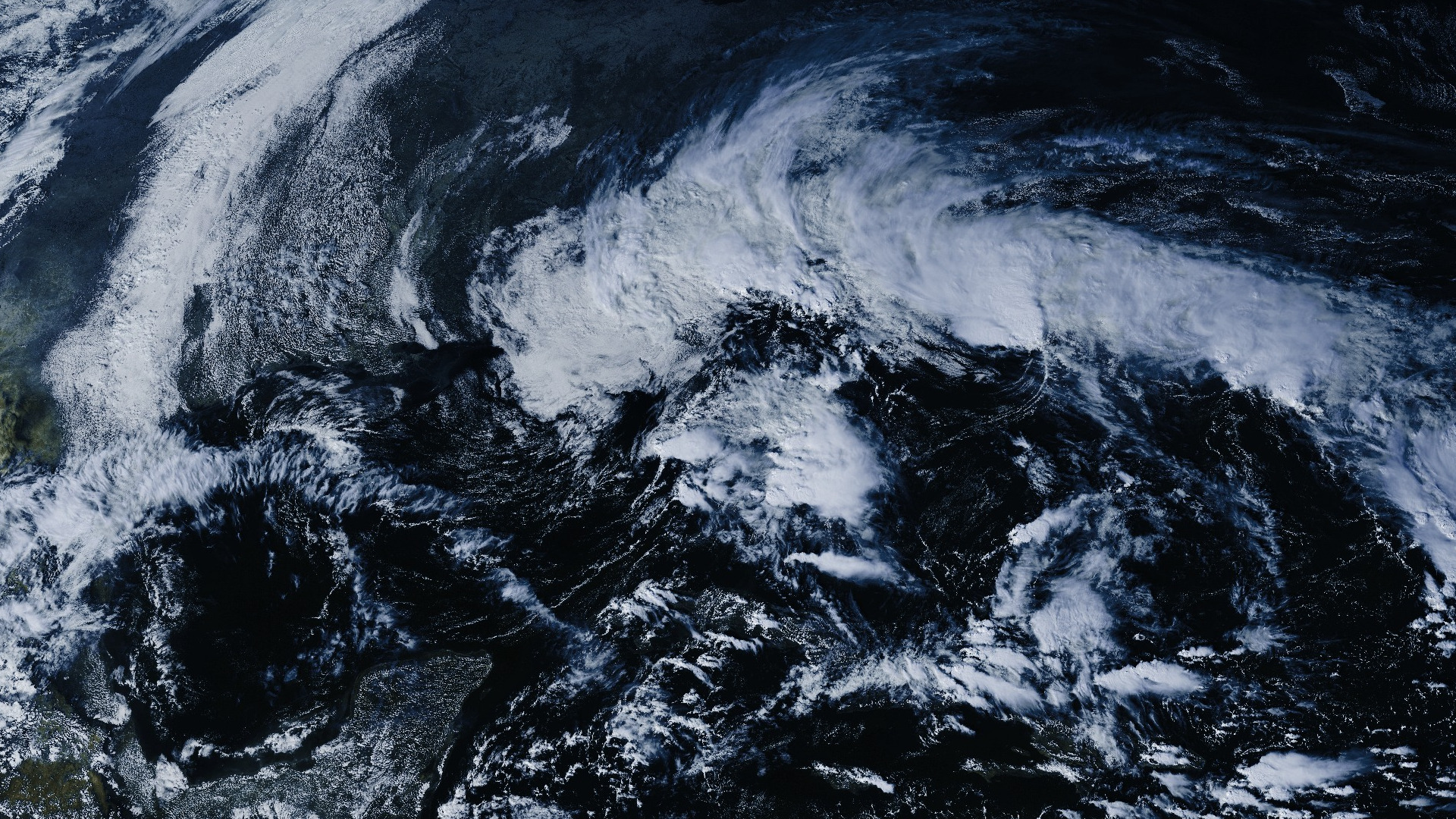
The National Hurricane Center no longer expects the offshore low to become a tropical or subtropical storm, but Brevard's record river flooding and hazardous surf are not over.
In its 7 p.m. EST Saturday Tropical Weather Outlook, the Hurricane Center said a non-tropical gale-force low pressure area centered a few hundred miles southeast of the North Carolina coast is producing disorganized showers and thunderstorms primarily along its associated stationary front. "This low is forecast to move northward into unfavorable environmental conditions, and development into a tropical or subtropical system is no longer expected," the outlook said. The official formation chances are low, near 0 percent, within 48 hours and within seven days.
Regardless of the system's status, the Hurricane Center said this large weather system is still expected to produce gusty winds, dangerous surf, rip currents and coastal flooding along portions of the southeast and mid-Atlantic U.S. coasts into early next week. It also said heavy rainfall and the threat of flash flooding will move northward from coastal portions of the Carolinas to the mid-Atlantic over the next day or so.
Melbourne's official rainfall remains historically high even as Saturday stayed mostly dry. The 5:25 p.m. climate report for Melbourne, valid as of 5 p.m., recorded 0.01 inch today and put the November total at 22.63 inches, compared with a normal of 1.77 inches by this date. Because Saturday's report is a mid-afternoon summary, a small additional amount could still be added after 5 p.m. Since Sept. 1, the official total is 42.58 inches, versus a normal of 14.26 inches. The year-to-date total is 73.94 inches, compared with a normal of 47.65 inches. Friday's official midnight close, in a climate report issued at 2:29 a.m. Saturday, was 0.03 inch, which brought the November total to 22.62 inches at the end of Friday. Thursday's official 5.34-inch daily record at Melbourne is covered in our record-rain story.
The St. Johns River near Cocoa remains in major flood and above its flood of record. In a 1:48 p.m. flood statement, NWS Melbourne said the stage at the gauge near Cocoa was 18.8 feet at 1:15 p.m. Saturday, that major flooding is occurring and is forecast, and that "this will set an all time flood of record." The office expected the river to crest at 18.8 feet this evening and remain steady into the middle of next week. A river Flood Warning remains in effect until further notice. The U.S. Geological Survey gauge (site 02232400) later read a provisional 18.75 feet at 5:15 p.m. EST Saturday, still well above the 17.0-foot major flood stage and the 17.55-foot flood of record from 1953. The National Water Prediction Service forecast also calls for 18.8 feet at 7 p.m. Saturday. See our St. Johns River story for the longer record of this rise.
Downstream, at Astor in Lake and Volusia counties, a 2:02 p.m. flood statement said the St. Johns was in major flood at 4.0 feet at 1:30 p.m., with flood stage at 2.3 feet. NWS forecast the river there to remain steady above flood stage at 4.1 feet and said that at 4.0 feet, "long duration flooding will occur, with levels taking weeks to months to return below flood stage." The USGS gauge at Astor read a provisional 4.08 feet at 5:30 p.m., a slow rise from about 4.0 feet earlier in the afternoon.
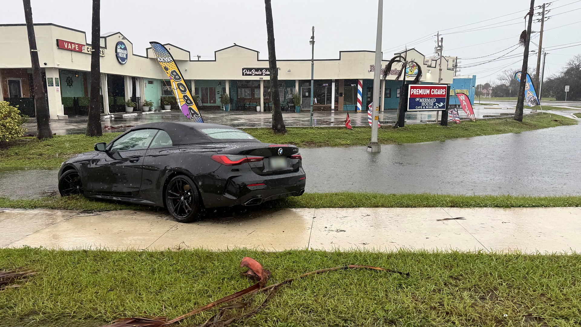
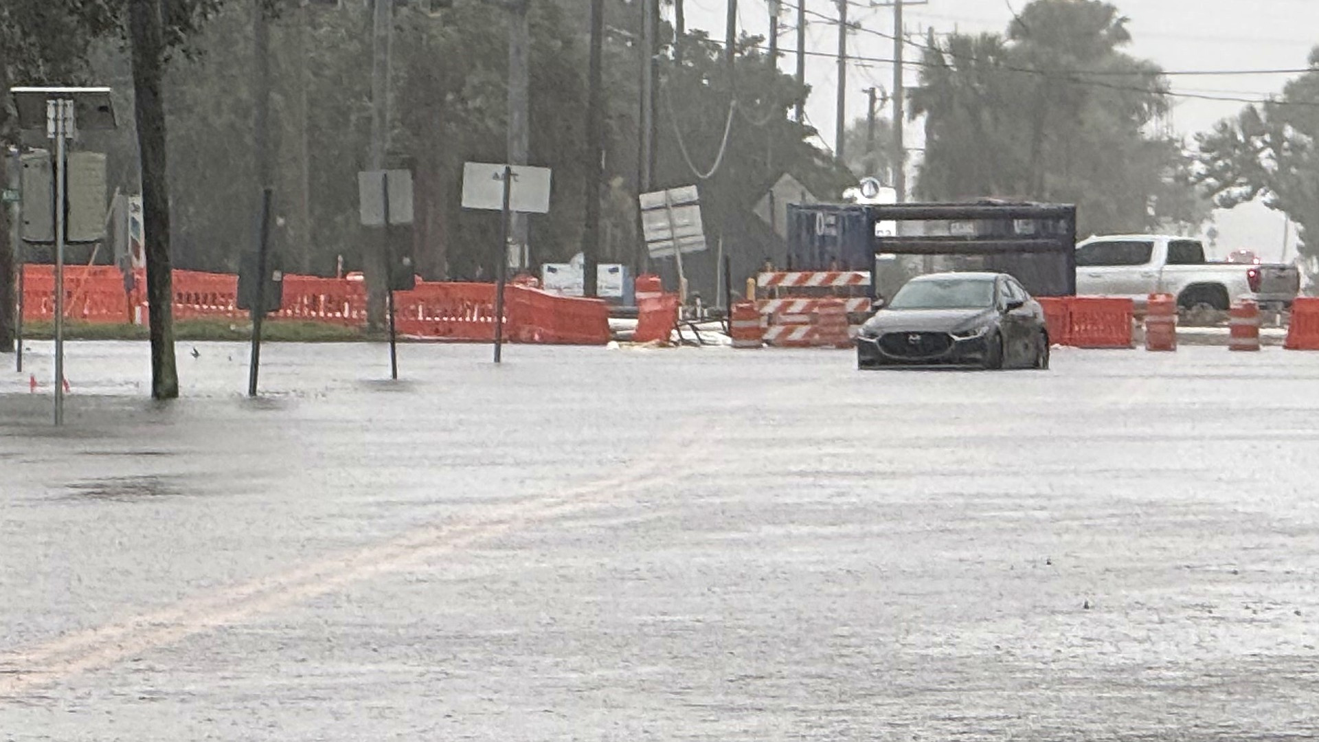
The urban and small-stream Flood Warning that covered northern Brevard and eastern Volusia until 8 a.m. Saturday has expired. Water on neighborhood streets can still linger after the rain has ended. For a running account of this week's warnings, water rescues and road closures, see our flash flooding story and Friday's 72-hour rainfall story. Never drive through floodwaters, and check FL511.com before you drive.
Along the coast, NWS Melbourne cancelled the High Surf Advisory at 2:45 a.m. Saturday but continued a High Rip Current Risk through Sunday evening for Brevard's mainland and barrier-island beaches, as well as coastal Volusia, Indian River, St. Lucie and Martin counties. That coastal message still warned of dangerous rip currents and rough surf. In its 3:35 p.m. Area Forecast Discussion, a correction of the 3:01 p.m. discussion, the office said hazardous beach and boating conditions continue through Saturday, with a slow improvement anticipated through the rest of the weekend. Nearshore seas were expected to persist at 5 to 6 feet into early Sunday, and Small Craft Advisories continue for offshore waters into Sunday, with 7-foot seas lingering over the Gulf Stream. Entering the surf is strongly discouraged.
The same afternoon discussion said scattered showers and isolated storms across east central Florida today could aggravate saturated and flooded spots, with lightning, gusty winds and even small hail possible in the strongest storms. Sunday and Monday look drier. NWS said drier air should keep rain chances below 20 percent early in the week, though brief sprinkles cannot be ruled out Sunday, and that floodwaters will be slow to recede, especially near the St. Johns River and across portions of Volusia and Brevard counties.
A Special Weather Statement issued at 5:57 p.m. warned of strong thunderstorms with wind gusts up to 50 mph in inland southern Brevard, inland Indian River, Osceola and Okeechobee counties until 6:30 p.m. That statement has expired. A Tornado Watch separate from that statement is in effect until 10 p.m. south of Brevard, for Indian River, St. Lucie, Martin and Okeechobee counties.
NWS says never drive through flooded roads: turn around, don't drown. The latest warnings and forecasts are at weather.gov/mlb and the National Hurricane Center.
Sources
- National Hurricane Center Tropical Weather Outlook, 7 p.m. EST Nov. 21 www.nhc.noaa.gov/text/MIATWOAT.shtml
- NWS Melbourne Climate Report for Nov. 21, 5:25 p.m. EST (valid as of 5 p.m.) api.weather.gov/products/9e7c430f-b8ad-40c8-93bb-582efbafd631
- NWS Melbourne Climate Report for Nov. 20, issued 2:29 a.m. EST Nov. 21 api.weather.gov/products/5af7c2c4-e784-4544-b32b-6f131872a8c3
Show all 14 sourcesShow fewer
- NWS Melbourne Flood Statement, St. Johns River near Cocoa, 1:48 p.m. EST Nov. 21 api.weather.gov/products/a15ebe5e-f99a-436b-bf34-d55b05b5b8cf
- NWS Melbourne Flood Statement, St. Johns River near Astor, 2:02 p.m. EST Nov. 21 api.weather.gov/products/338f629b-aaaa-421e-b2bc-f5915c19afc3
- USGS St. Johns River near Cocoa, site 02232400 waterdata.usgs.gov/monitoring-location/02232400/
- USGS St. Johns River at Astor, site 02236125 waterdata.usgs.gov/monitoring-location/02236125/
- National Water Prediction Service, Cocoa gauge COCF1 water.noaa.gov/gauges/COCF1
- NWS Melbourne Area Forecast Discussion, 3:35 p.m. EST Nov. 21 (corrected) api.weather.gov/products/3fc8afe7-11cf-4411-8377-9ce6c4feab75
- NWS Melbourne Coastal Hazard Message, 2:45 a.m. EST Nov. 21 api.weather.gov/products/6e4b33b9-7788-4eaf-b87d-c74d516548d8
- NWS Melbourne Special Weather Statement, 5:57 p.m. EST Nov. 21 api.weather.gov/products/bd1cf498-29e5-4b6e-b8d7-59d56c56a3a7
- NWS Melbourne Flood Warning, northern Brevard and eastern Volusia, 6:10 p.m. EST Nov. 20 (expired 8 a.m. Nov. 21) api.weather.gov/products/5672fd06-7f75-4837-a79c-9ffe574157fe
- NWS Melbourne Flood Warning, St. Johns River near Cocoa, 1:48 p.m. EST Nov. 21 update api.weather.gov/alerts/urn:oid:2.49.0.1.840.0.27bb99746a0addd53b2263f3266809e73bc3c158.001.1
- NWS Melbourne Rip Current Statement, High Rip Current Risk through Sunday evening api.weather.gov/alerts/urn:oid:2.49.0.1.840.0.0bb8a2200d2576ee1bdde57267e5540a6e0bf1fb.001.2
Spot something wrong? Request a correction · Our standards
Comments
Keep it friendly. Rude, hostile or personal-attack comments will be removed.