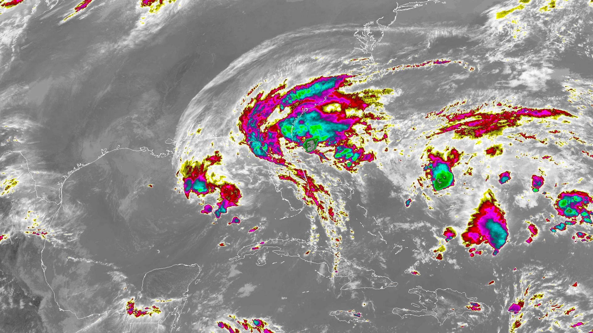
After more than 24 inches in 72 hours, Brevard's rain eases but floodwaters linger
A gauge 1 mile north of Cocoa Beach recorded 24.26 inches in 72 hours, and Melbourne's official November total has reached 22.62 inches. A Flood Warning remains until 8 a.m. Saturday, and the St. Johns River near Cocoa is still rising at a record 18.75 feet.
Written with AI assistance, with sources linked below.
Local Weather
Measured on Brevard's beachside by our own weather station
- Wind
- 1 mph WNW, gusts 2 mph
- Rain today
- 0.00 in
- Humidity
- 96%
- Pressure
- 29.93 inHg ↓ falling
Updated 1:39 AM ET
Our station's outlook (based on local readings, not an official forecast)
Flood Warning in effect: NWS Melbourne, until 12:00 PM ET.
Based on readings to 1:39 AM ET. Rules: 3- and 12-hour pressure change, wind shift and humidity/dew point trend. For official forecasts and warnings see the National Weather Service in Melbourne.
Sun
Sunrise 6:50 AM · Sunset 5:29 PM
Moon
Waxing Gibbous, 86% lit
Sun and moon times are calculated on our server for Brevard's beachside. Daily weather log, records and forecast →
The heaviest rain has finally let up over Brevard County, but the water has not. A National Weather Service Public Information Statement, issued at 12:07 p.m. EST Friday, Nov. 20, 2026, and later corrected to specify 72-hour amounts, listed 24.26 inches 1 mile north of Cocoa Beach, 22.49 inches 3 miles south of Titusville, 22.00 inches on Merritt Island, 20.45 inches 5 miles east of Port St. John, 16.78 inches at Cape Canaveral Space Force Station and 14.28 inches 1 mile north of Patrick Space Force Base. In Volusia County, the same list included 22.95 inches 2 miles west of Allandale and 15.82 inches at Daytona Beach International Airport. NWS cautions that the reports come from a mix of sources and that not all of the listed totals are considered official.
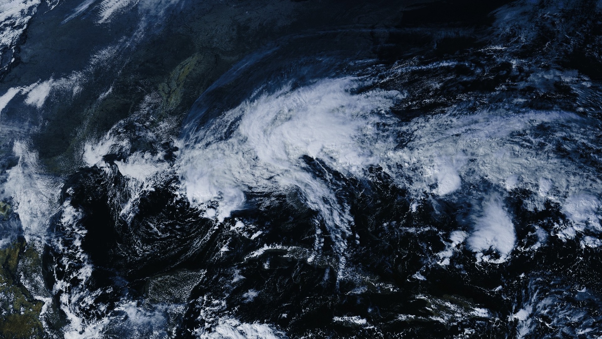
The official climate record at Melbourne International Airport tells the same story of a wet end to a historic week. The complete climate report for Thursday, Nov. 19, issued at 2:27 a.m. Friday, recorded 5.34 inches, a daily record that broke the previous Nov. 19 mark of 2.80 inches set in 1987. That official close is higher than the 4.94 inches reported as of 5 p.m. Thursday in our earlier record-rain story, because more rain fell after that afternoon climate summary. Friday stayed much quieter. The 5:39 p.m. climate report, valid as of 5 p.m., recorded only 0.03 inch today and put Melbourne's November total at 22.62 inches, compared with a normal of 1.70 inches by this date. Because Friday's report is a mid-afternoon summary, a small additional amount could still be added after 5 p.m.
NWS Melbourne cancelled the Flood Watch for southern Brevard, Orange and Seminole counties at 10:23 a.m. Friday, while leaving it in effect for northern Brevard and Volusia until 7 p.m. That remaining watch expired at 7:02 p.m.. In its expiration statement, the office said a Flood Warning would remain overnight, but additional heavy rain was not expected.
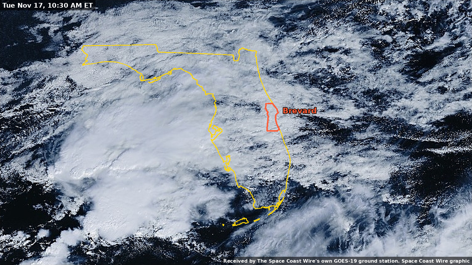
At 6:10 p.m., NWS issued a new Flood Warning for northern Brevard and eastern Volusia counties until 8 a.m. Saturday. The warning said emergency management reported flooding in the warned area and that, while the heavy rain has ended, the water will be slow to recede tonight. Some roads remain impassable or closed. Brevard locations named in the warning include Titusville, Rockledge, Cocoa, Cocoa Beach, Satellite Beach, Cape Canaveral, Mims, Scottsmoor and Playalinda Beach.
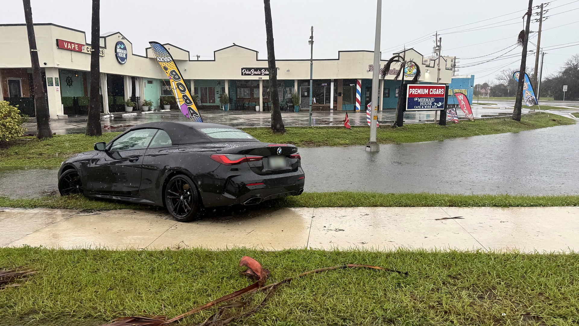
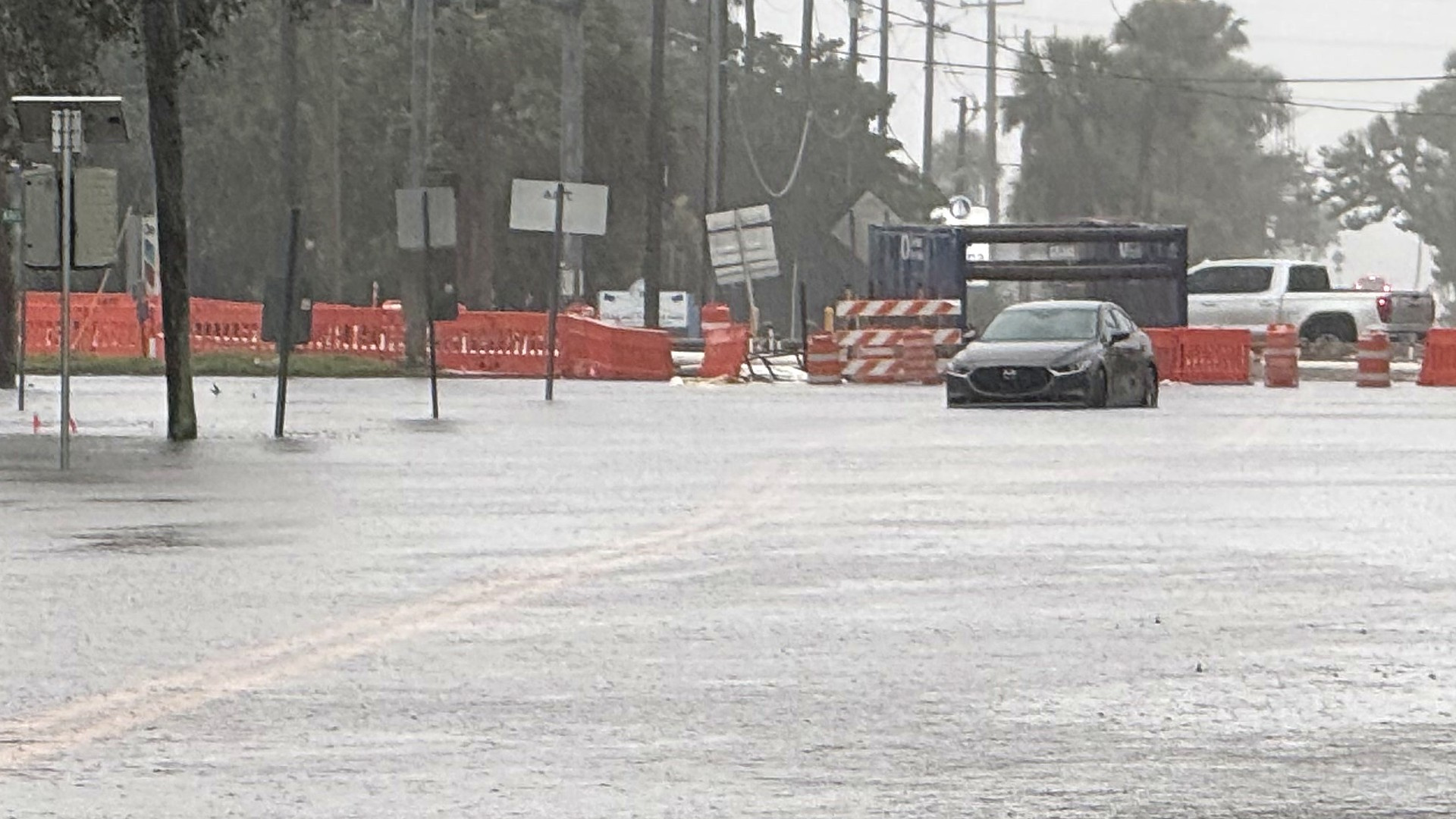
Local storm reports issued Friday documented flash flooding that lingered after the rain. At 1 p.m., a public report described flooding on northbound State Road A1A at Shearwater Road just south of South Patrick Shores, 1 mile north of Satellite Beach, with portions of A1A closed from Berkeley Street southward to Desoto Parkway. At 3:26 p.m., emergency management reported extensive flooding in the Palm Estates area of Cocoa, 2 miles southwest of the city. A 4:01 p.m. report said emergency management had taken several water-rescue calls this morning and early afternoon in subdivisions 3 miles southeast of Canaveral Acres, including Dalehurst Ranches, Friday Acres and homes off Rayburn Road south and east of the Interstate 95 and State Road 528 interchange.
As of 4:40 p.m. Friday, Florida 511 still listed northbound State Road A1A closed before Shearwater Parkway and northbound U.S. 1 closed at Barnes Boulevard. The same update said the flooding closure of Sarno Road at North Drive had been cleared. Check FL511.com before you drive, and never drive through floodwaters.
On Thursday evening, Rockledge officials urged residents to stay indoors, stay off the roads and leave early if water was rising around them, because roads can become impassable with little warning, Spectrum News 13 reported. Brevard Emergency Management opened a county shelter Thursday night at the Walter Butler Community Center, 4201 N. Cocoa Blvd. in Cocoa, for the general public, people with special medical needs and families with pets. The City of Melbourne opened an American Red Cross shelter at the Joseph N. Davis Community Center, 2547 Bruce D. Buggs St. Multi-Agency Resource Centers are open daily from 8 a.m. to 7 p.m. at the Tony Rosa Community Center, 1502 Port Malabar Blvd. NE in Palm Bay, and the Veterans Memorial Complex, 2285 Minton Road in West Melbourne, the county said at 3 p.m. Friday. Residents whose homes were damaged can still file a damage self-report, which the county notes is not an application for assistance.
The City of Melbourne said Friday evening that residents who missed Waste Management pickup because of the flooding will have it collected on their next regular collection day, and that all three landfills reopen Saturday, Nov. 21. The city's debris contractor will keep collecting flood-damaged items in affected neighborhoods every day the landfills are open, including Saturday and Sunday. Brevard County Emergency Management reminded residents that floodwater can contain sewage, chemicals and debris, and asked people to wear gloves, boots and protective clothing, separate household waste from construction debris, and keep hazardous materials away from the curb.
The St. Johns River near Cocoa remains in major flood and above its flood of record. The U.S. Geological Survey gauge (site 02232400) read a provisional 18.75 feet at 7:15 p.m. EST Friday. Major flood stage at this location is 17.0 feet, and the 1953 flood of record is 17.55 feet. In a 2:27 p.m. flood statement, NWS Melbourne said the river would continue a slow rise through Friday night and was expected to become steady this weekend into early next week, forecasting 18.8 feet. The National Water Prediction Service forecast also calls for 18.8 feet by 7 a.m. Saturday. A river Flood Warning remains in effect until further notice. See our St. Johns River story for the longer record of this rise.
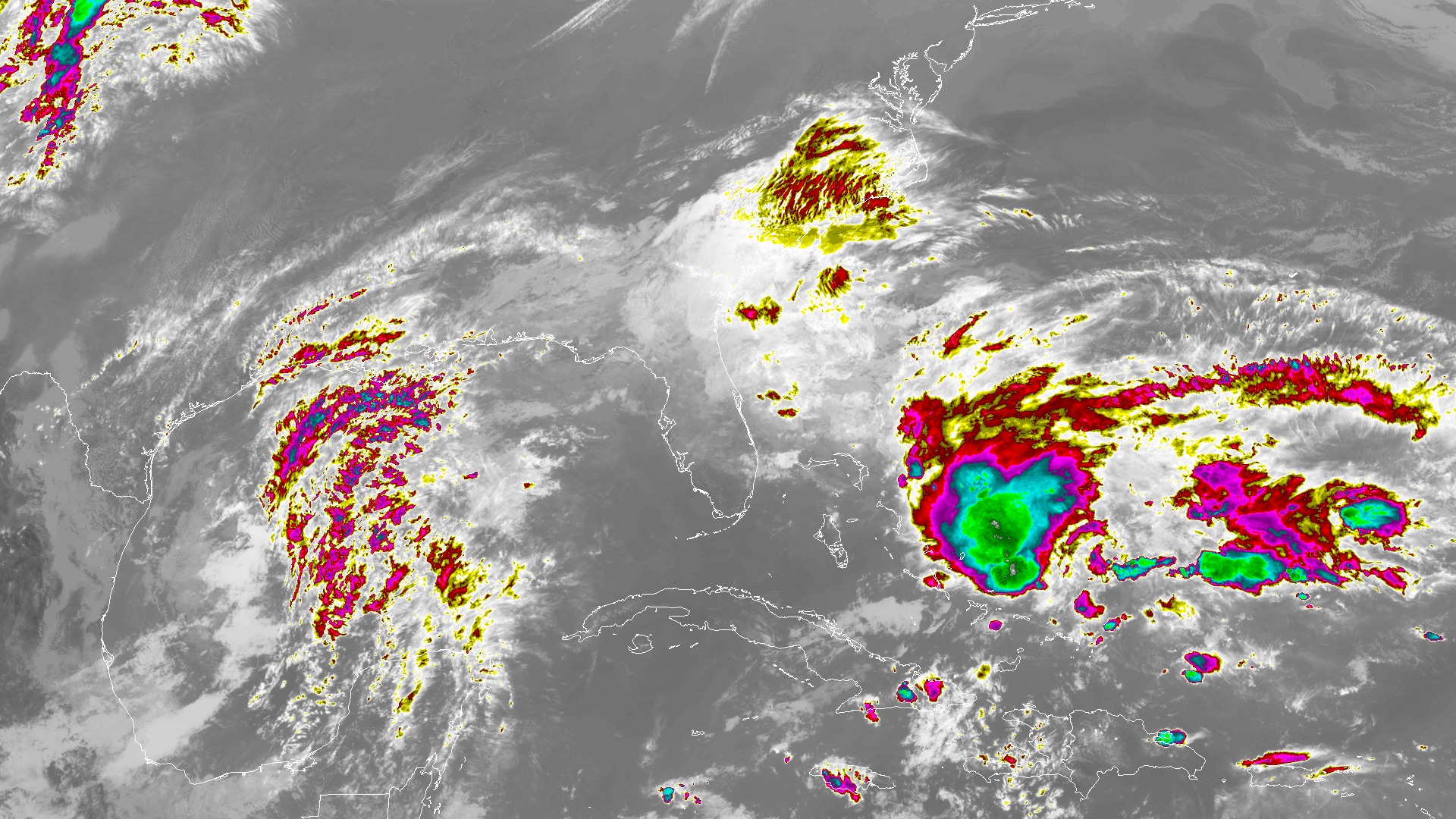
In its 2:45 p.m. Area Forecast Discussion, which was still the key-message discussion in the 6:56 p.m. update, NWS Melbourne said rainfall was diminishing across east central Florida and that a High Surf Advisory remains in effect through Saturday, with rough, pounding surf and the potential for moderate to locally major beach erosion. The latest Coastal Hazard Message, issued at 12:58 a.m. Friday, keeps the High Surf Advisory in effect until 7 p.m. Saturday, with large breaking waves of 5 to 12 feet, and extends the high rip current risk through Sunday evening. The coastal message describes the erosion impact as localized; the stronger "moderate to locally major" wording comes from the afternoon forecast discussion. Scattered showers are forecast Saturday, with a 40 to 60 percent chance, and the Weather Prediction Center has a Marginal Risk of excessive rainfall from Brevard northward. Moderate showers could aggravate areas already sensitive to flooding.
For a running account of this week's warnings, water rescues and road closures, see our flash flooding story. The forecast that framed this latest round of rain is here: Brevard rain forecast, 4 to 6 inches.
NWS says never drive through flooded roads: turn around, don't drown. The latest warnings and forecasts are at weather.gov/mlb.
Sources
- NWS Melbourne Public Information Statement, 72-hour precipitation (12:07 p.m. EST Nov. 20, corrected 3:49 p.m.) api.weather.gov/products/88f76fc6-1a1f-4f40-8e34-540297d766bc
- NWS Melbourne Climate Report for Nov. 19, issued 2:27 a.m. EST Nov. 20 api.weather.gov/products/c89bf96b-3a4a-4b24-ae74-cc4110281ec6
- NWS Melbourne Climate Report for Nov. 20, 5:39 p.m. EST (valid as of 5 p.m.) api.weather.gov/products/4996630e-68fc-4daa-b967-1eee320171f6
Show all 24 sourcesShow fewer
- NWS Melbourne Flood Watch, 10:23 a.m. EST Nov. 20 (southern Brevard cancelled; north remains) api.weather.gov/products/62e4232f-2224-4c67-92c5-f0f18ec08162
- NWS Melbourne Flood Watch expiration, 7:02 p.m. EST Nov. 20 api.weather.gov/products/1f8186ca-1b57-4908-9350-935adb4caa13
- NWS Melbourne Flood Warning, northern Brevard and eastern Volusia, 6:10 p.m. EST Nov. 20 api.weather.gov/alerts/urn:oid:2.49.0.1.840.0.78fd27ea6cc01362d19f260aec4010367d0edd8a.001.1
- NWS Melbourne Local Storm Report, flash flood 1 N Satellite Beach, 1:08 p.m. api.weather.gov/products/3a174a9e-f0bd-4cf6-88a5-0b602bcde889
- NWS Melbourne Local Storm Report, flash flood 2 SW Cocoa, 3:29 p.m. api.weather.gov/products/95da5035-2c8b-4f26-a9d1-2dc26afc0d1a
- NWS Melbourne Local Storm Report, flash flood 3 SE Canaveral Acres, 4:01 p.m. api.weather.gov/products/53bfd903-24d8-467e-a0f0-b34a6d5a9e98
- NWS Melbourne Area Forecast Discussion, 2:45 p.m. EST Nov. 20 api.weather.gov/products/7386d15e-03e3-4f5a-9858-60461cc76406
- NWS Melbourne Area Forecast Discussion, 6:56 p.m. EST Nov. 20 api.weather.gov/products/a112efd6-b4e6-469a-9329-862aff18ec54
- NWS Melbourne Coastal Hazard Message, 12:58 a.m. EST Nov. 20 api.weather.gov/products/bc714972-506b-4ecc-bd01-142298042539
- NWS Melbourne Flood Statement, St. Johns River near Cocoa, 2:27 p.m. EST Nov. 20 api.weather.gov/products/a2a3cd00-9fcb-4253-934d-d801b2621fdf
- USGS St. Johns River near Cocoa, site 02232400 waterdata.usgs.gov/monitoring-location/02232400/
- National Water Prediction Service, St. Johns River near Cocoa (COCF1) water.noaa.gov/gauges/COCF1
- Florida 511, 4:30 p.m. Friday road update x.com/fl511_state/status/2123891503923949873
- Spectrum News 13, Rockledge flooding and leave-early urging, Nov. 19 mynews13.com/fl/orlando/news/2026/11/19/heavy-rainfall-in-rockledge-flooding-roads-forcing-some-rescues
- Brevard County Emergency Management, shelter notice, Nov. 19 x.com/BrevardEOC/status/2123572831569027360
- City of Melbourne, Joseph N. Davis Community Center shelter www.melbourneflorida.org/News-articles/Shelter-Open-at-Joseph-N-Davis-Community-Center-Nov-19
- Brevard County Emergency Management, Multi-Agency Resource Centers, Nov. 20 x.com/BrevardEOC/status/2123872420045959467
- City of Melbourne, landfill and missed-pickup update, Nov. 20 x.com/MelbourneFL/status/2123911311880863833
- City of Melbourne, debris collection update, Nov. 20 x.com/MelbourneFL/status/2123911339865477367
- Brevard County Emergency Management, flood cleanup safety, Nov. 20 x.com/BrevardEOC/status/2123911005537247342
- NWS Melbourne www.weather.gov/mlb/
Spot something wrong? Request a correction · Our standards
Comments
Keep it friendly. Rude, hostile or personal-attack comments will be removed.